What is recorded here
In the grounds of Castlecomer Demesne. The ground rises steeply from the entrance of the estate up to the graveyard. The graveyard is roughly triangular in shape (dims. c. 93m N-S; c. 140m E-W) and is defined by a road along its S side. There is an 18th-century C of I church in the E quadrant. According to Carrigan (1905, vol. 2, 159-160) this was the location of the 'ancient Catholic parish church of the Holy Cross of Castlecomer'. It is likely that the medieval church was taken down when a new church was built in 1635-7 by Christopher Wandesford as part of his new planned town (ibid.; Farrelly et al. 1993). This church appears to have been destroyed in 1641 by the Confederate Catholics as a number of planters had taken refuge there when the town was being attacked (Farrelly et al. 1993). It is possible that the present C of I church was built on or near the location of the medieval church. The earliest headstone noted dates to 1704 (ibid.).
Compiled by: Jean Farrelly
Date of upload: 22 February 2016
The monument record does not grant public access. Check the route and ask the landowner before entering private land.
- What survives
- Recorded monument
Places near here
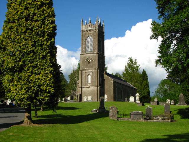 Saint Mary's Church (Castlecomer)church/chapel · 27 yd
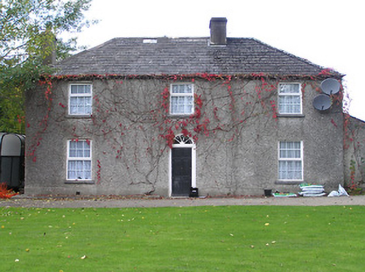 Ardra Houserectory/glebe/vicarage/curate's house · 62 yd
 Holy WellHoly well · 78 yd
 Footprints In CoalMuseum · 125 yd
 Estate YardMemorial · 134 yd
 Castlecomer Discovery ParkHeritage attraction · 206 yd
 The GarrisonCastle, motte · 209 yd
 European YewEuropean Yew · 360 yd
 1798Memorial · 432 yd
 Ardra LoopWalking route · 930 yd
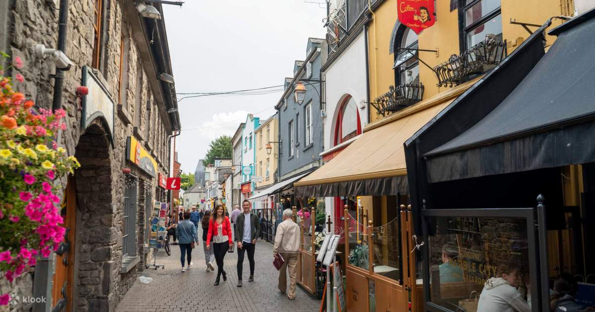 Sawney's WoodForest · 1248 yd
 Enclosure in Ballyhimmin (knocktopher By.)Enclosure · 1.2 mi