
What is recorded here
On a gentle S and SW-facing slope. Flat-topped grass-covered earthen bank (Wth of base 3m; Wth of top 1.5m; H 1.1-1.2m) separated by berm (Wth 3.3m) from a drystone wall and townland boundary with Ardnamullagh to its W, which is built on the foundations of an older wall. The road runs S-N (L c. 300m) from Ballintober village and then NE (L c. 400m) towards the site of Wills Grove House.
Compiled by: Michael Moore
Date of upload: 24 August 2010
The monument record does not grant public access. Check the route and ask the landowner before entering private land.
- What survives
- Recorded monument
Places near here
 Field system in BallintoberField system · 650 yd
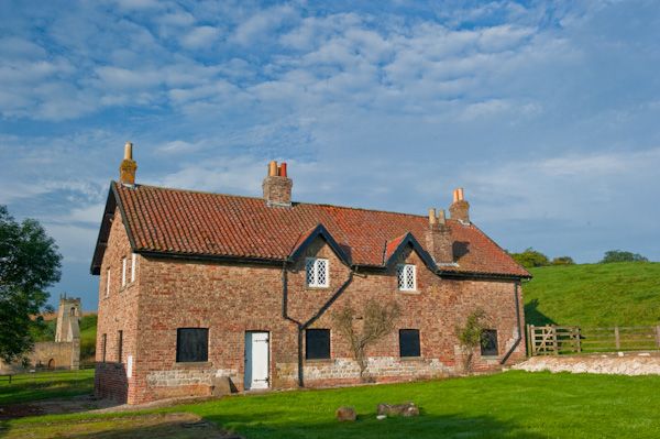 Settlement desertedSettlement deserted, medieval · 666 yd
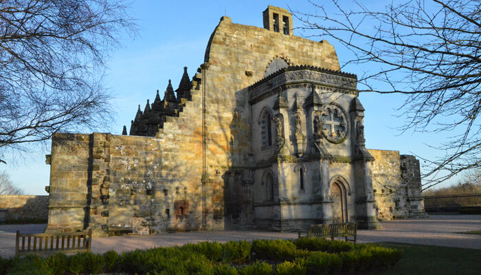 Chapel in RosmeenChapel · 668 yd
 RoadRoad, road/trackway · 694 yd
 CastleCastle, Anglo-Norman masonry castle · 699 yd
 Silver IslandIslet · 3.4 mi
 Workhouse MemorialMemorial · 3.8 mi
 Castlereagh HouseCastle, unclassified · 4.3 mi
 HawthornHawthorn · 4.7 mi
 Site of Killomaine Grave YardArchaeological place · 5.2 mi
 Clonalis HouseMuseum · 5.6 mi
 European ashEuropean ash · 9.0 mi
Other information
Photo: Credit not shown in the picture search · Rights wording not checked; contact us if this picture should be removed