
What is recorded here
In undulating pasture, on S-facing slope. Subcircular area (34m N-S; 36m E-W), enclosed by the remains of two earthen banks, with intervening fosse. Inner bank (H 0.5m) has gaps in NE and E. Fosse (D 0.4m) and outer bank (ext. H 0.7m) extant SE to NW; quarried in places. Interior raised to compensate for hill slope. Interior bisected by field fence NW to SE.
The above description has been derived from D. Lavelle (compiler), An Archaeological Survey of Ballinrobe and District including Lough Mask and Lough Carra. Lough Mask and Lough Carra Tourist Development Association (1994), No. 90.
Date of upload: 12 January 2015
The monument record does not grant public access. Check the route and ask the landowner before entering private land.
- What survives
- Recorded monument
Places near here
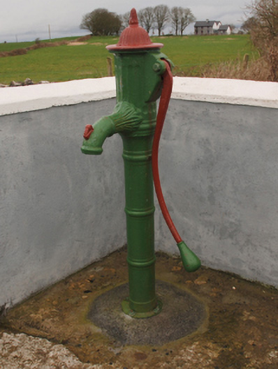 water pumpwater pump · 465 yd
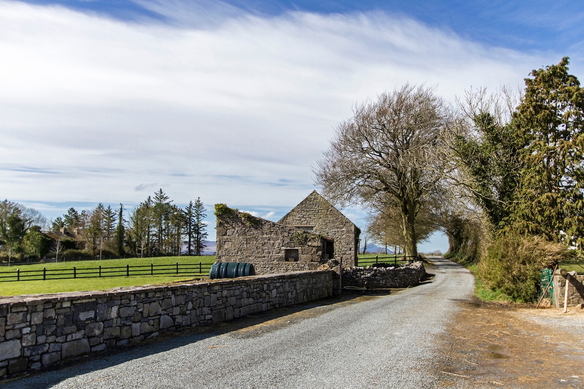 Enclosure in Hundred AcresEnclosure · 949 yd
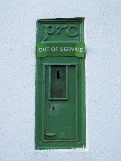 post boxpost box · 1131 yd
 Enclosure in FountainhillEnclosure · 1165 yd
 Bawn in Kilkeeran (kilmaine By., Kilmainebeg Par.)Bawn · 1.3 mi
 Bawn in Cregduff (kilmaine By., Kilmainemore Par.)Bawn · 1.5 mi
 Cregg PlantationForest · 2.4 mi
 Pesooge PlantationForest · 2.9 mi
 Gibbs IslandsIslet · 4.3 mi
 Ross Errilly FriaryHeritage attraction · 4.8 mi
 Red Island RockIslet · 4.9 mi
 LabbadermotCave · 6.3 mi
Other information
Photo: Credit not shown in the picture search · Rights wording not checked; contact us if this picture should be removed