
What is recorded here
On the crest of a ridge in grassland. Classified by McCaffrey (1952, 119, no. 29) as a circular ‘Earthen fort’ (diam. c. 51m) defined by an earthen bank and external fosse with an entrance gap (Wth c. 1.5m) at E. Possible stone-facing was visible on the inner face of the bank. According to local information (Topgr. Files, NUIG), the monument was bulldozed c. 1955.
No visible surface trace survives but its outline is clearly visible on aerial photographs (https://binged.it/2dIUTms, last accessed 12 October 2016). (Holt 1912, 224)
Compiled by: Galway Archaeological Survey, UCG
Date of upload: 12 October 2016
The monument record does not grant public access. Check the route and ask the landowner before entering private land.
- What survives
- Recorded monument
Places near here
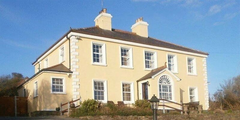
 Ardfry Ho.Country house · 442 yd
 Ardfry Housefarmyard complex · 499 yd
 Castle (in Ruins)Castle, tower house · 562 yd
 St. Brendans WellHoly well · 577 yd
 RathmoreFairy fort / earthen ringfort · 930 yd
 Plumbtree FortArchaeological place · 989 yd
 South WoodWood · 1370 yd
 CastleCastle, tower house · 1580 yd
 Leadmine HillMountain / peak · 1.1 mi
 Ardfry PointHeadland · 1.5 mi
 Goose IslandIslet · 1.7 mi
 InishcorraIslet · 1.9 mi
Other information
Photo: Credit not shown in the picture search · Rights wording not checked; contact us if this picture should be removed