
What is recorded here
In improved level pasture. Shown on the OS 25-inch map as a circular area (est. int. diam. c. 26m) enclosed by a bank. No visible surface trace survives.
Compiled by: Gearóid Conroy
Date of upload: 01 October 2013
The monument record does not grant public access. Check the route and ask the landowner before entering private land.
- What survives
- Recorded monument
Places near here
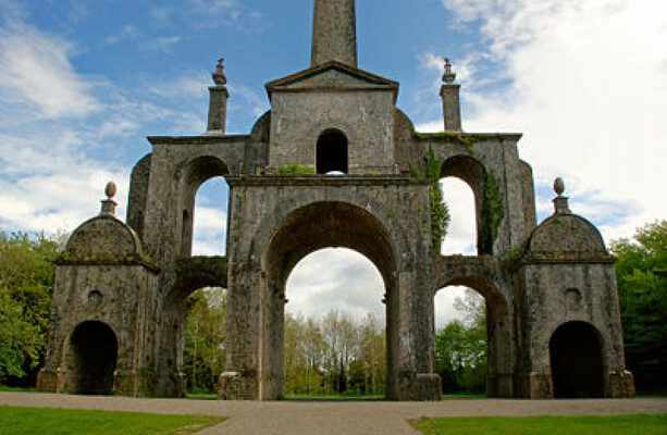 Enclosure in Boley LittleEnclosure · 606 yd
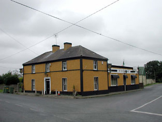 P. Conlanhouse · 826 yd
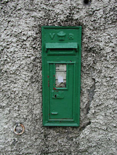 post boxpost box · 838 yd
 Enclosure in Boley GreatEnclosure · 1304 yd
 CastleCastle, unclassified · 1.7 mi
 Battle of Kilrushbattle · 2.3 mi
 Ardscull MoatCastle, motte · 2.3 mi
 History of Moat of ArdscullVisitor information · 2.3 mi
 European BeechEuropean Beech · 2.3 mi
 Gorden Bennet Race memorialMemorial · 2.4 mi
 Derryvullagh IslandForest · 2.6 mi
 1798 memorialMemorial · 5.3 mi
Other information
Photo: Credit not shown in the picture search · Rights wording not checked; contact us if this picture should be removed