What is recorded here
Indicated is a fairy fort or earthen ringfort in Ardcumber, County Sligo, Ireland. The circular area measures twenty-eight metres across and contains scattered boulders within a slightly concave interior. An earthen bank surrounds the space, while a shallow external fosse follows the southern arc. Two other raths appear nearby to the west in the undulating pasture.
In undulating pasture, on top of a low ridge. A circular area (diam. 28m) enclosed by an earthen bank (Wth 3.5m; int. H 1m; ext. H 1.2m) with a shallow external fosse (Wth c. 3m) along the S arc. The narrow external fosse along the E arc may be of recent construction. The interior is slightly concave with some large boulders scattered across the surface. There are two other raths (SL027-105----; SL027-106----) c. 110m and c. 50m to W respectively.
The above description is derived from the published 'Archaeological Inventory of County Sligo' compiled by Ursula Egan, Elizabeth Byrne, Mary Sleeman with Sheila Ronan and Connie Murphy (Dublin Stationery Office, 2005).
Date of upload: 18 January 2008
The monument record does not grant public access. Check the route and ask the landowner before entering private land.
- What survives
- Recorded monument
Places near here
 IndicatedFairy fort / earthen ringfort · 84 yd
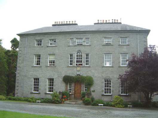 Coopershill Housecountry house · 677 yd
 LisnanarlFairy fort / earthen ringfort · 929 yd
 Castle Douglas (Site of)Castle, unclassified · 1201 yd
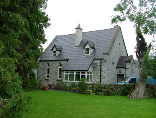 church/chapelchurch/chapel · 1216 yd
 Riverstown Folk ParkHeritage attraction · 1491 yd
 Behy Castle (in Ruins)Castle, tower house · 1.6 mi
 James MorrisonMemorial · 1.7 mi
 Field MapleField Maple · 3.2 mi
 Giants GraveArchaeological place · 3.6 mi
 European ashEuropean ash · 3.8 mi
 Battle of Collooneybattle · 5.0 mi