What is recorded here
In rough hill pasture, on a SW-facing slope, overlooking the valley of the Flesk River. An oval area (18.6m E-W; 15m N-S) defined by the lower courses of a drystone wall (T 0.65m; H 0.7m) which protrudes above the surface of a shallow bog. The wall narrows as it rises. There are breaks in the wall at SW (Wth 3m) and at SE (Wth 5m). Recent field boundaries abut the enclosure externally at E and W.
Compiled by: Elizabeth Byrne, Ursula Egan and Sheila Ronan, Archaeological Survey Unit, University College, Cork.
Date of upload: 31 January 2011
The monument record does not grant public access. Check the route and ask the landowner before entering private land.
- What survives
- Recorded monument
Places near here
 Hut site in Annagh BegHut site · 633 yd
 SheepfoldEnclosure · 654 yd
 Killeen MountainMountain / peak · 1377 yd
 CoolcurtogaMountain / peak · 1.3 mi
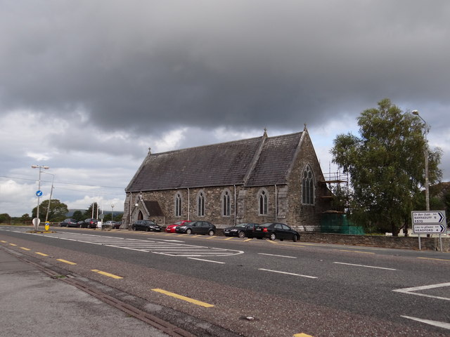 Saint Agatha's Catholic Churchchurch/chapel · 1.8 mi
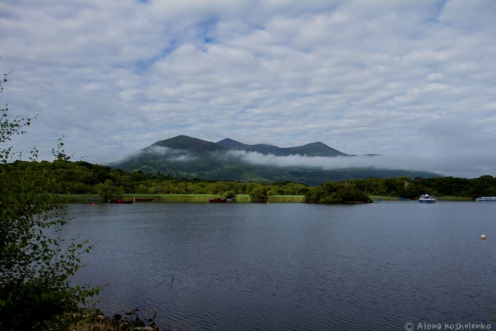 Clydagh Br.Bridge · 2.0 mi
 Killaha Castle (in Ruins)Castle, tower house · 2.9 mi
 BarraduffMemorial · 3.2 mi
 Nohaval WoodWood · 7.5 mi
 Torc WaterfallWaterfall · 7.9 mi
 Monterey CypressMonterey Cypress · 8.0 mi
 Castlelough BayBay · 8.0 mi