What is recorded here
Indicated rises a metre above Port Lough in County Donegal, a twenty-four metre stone island covered in trees except where western rocks expose broken querns. Two sharp landing stages cut into the east and south, inviting boats to touch a place the sea never claimed. People may have rowed out at low tide to grind grain or tend gardens on water, turning a dangerous distance into a quiet neighbourhood. The lough still hides the footpaths and doorways beneath its green surface.
Dimensions 23.5m E-W, 24.5m N-S. An artificially constructed mound of stones c. 1m above the present level of Port Lough. It is covered by trees and vegetation except on the W side where parts of a saddle quern and a portion of a rotary quern were found. There are two landing stages consisting of three-sided projections one to the E and another to the S. It is situated c. 150m offshore.
The above description was derived from the 'Archaeological Survey of County Donegal. A description of the field antiquities of the County from the Mesolithic Period to the 17th century.' Compiled by: Brian Lacey with Eamon Cody, Claire Cotter, Judy Cuppage, Noel Dunne, Vincent Hurley, Celie O'Rahilly, Paul Walsh and Seán Ó Nualláin (Lifford: Donegal County Council, 1983). In certain instances the entries have been revised and updated.
Date of upload: 22 September 2008
The monument record does not grant public access. Check the route and ask the landowner before entering private land.
- What survives
- Recorded monument
Places near here
 Boys IslandIslet · 1 yd
 Former Greenhill FortEnclosure · 607 yd
 Altar (Site of)Penal Mass station · 1109 yd
 Local Wildlife presentationVisitor information · 1223 yd
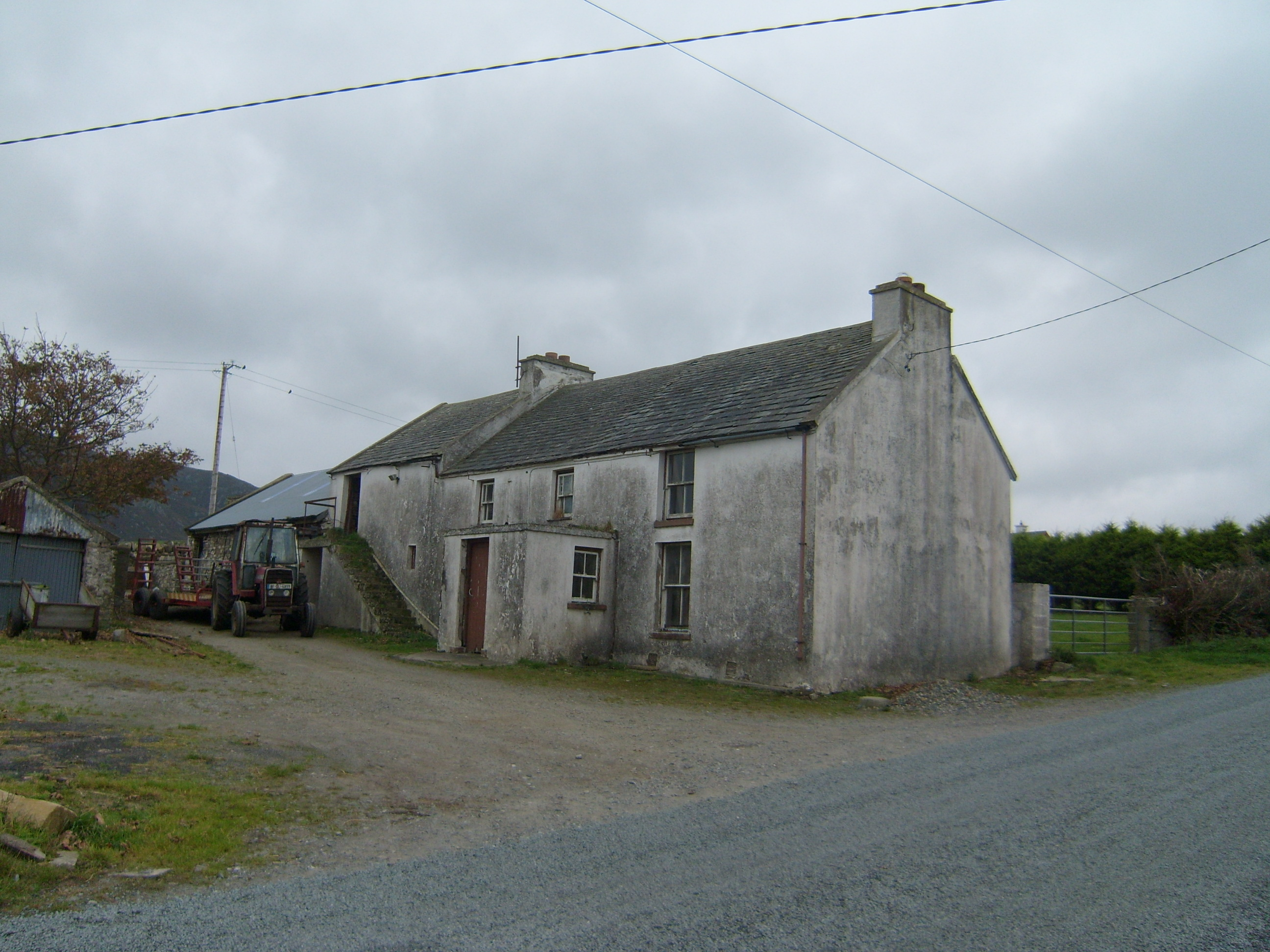 farm housefarm house · 1325 yd
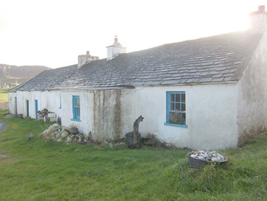 The Rockhouse · 1604 yd
 Kill Old Church GraveyardGraveyard · 1.4 mi
 Castle (Site of)Castle, unclassified · 1.7 mi
 Mc Swynes CastleCastle, unclassified · 1.9 mi
 Lockheed Hudson bomber 1942Memorial · 2.1 mi
 Tramore StrandBeach / strand · 2.2 mi
 KillahoeyOfficial bathing water · 2.2 mi