What is recorded here
On a narrow level terrace on the W face of a steep-sided ridge in an area of very rough and overgrown rock outcrop, extending from and surrounding a cashel (CL006-009----). A field system comprised of several elements likely of multiperiod origin. A tumbled field wall radiates off the SE of the cashel and joins a second tumbled field wall which encloses the cashel in a concentric line from SE–NW, but then runs in a more angular fashion from NW–SE. This wall acts as and forms a kink in the townland boundary from W–NW (H 1.6m; Wth 0.5–0.8m). It is single-walled, and drystone built, but may follow an older boundary line. To the E and the SE of this outer wall meandering single stonewalls form small irregularly shaped fields and encompass another potential enclosure (CL006-009004-) c. 60m SE of the cashel.
Compiled by: Mary Tunney and Ros Ó Maoldúin
Date of upload: 28 April 2021
The monument record does not grant public access. Check the route and ask the landowner before entering private land.
- What survives
- Recorded monument
Places near here
 IndicatedEnclosure · 43 yd
 Castle Mael (in ruins)Castle, unclassified · 634 yd
 Enclosure in AillweeEnclosure · 1265 yd
 Turlough CastleArchaeological place · 1703 yd
 Moneen MountainMountain / peak · 1.6 mi
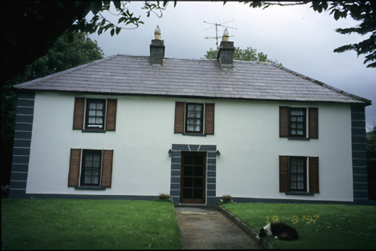 Abbey Househouse · 2.0 mi
 Aillwee Cave Visitor Centreheritage centre/interpretative centre · 2.2 mi
 Aillwee CaveCave · 2.2 mi
 Bird Of Prey CentreHeritage attraction · 2.3 mi
 PoulnabroneMemorial · 3.1 mi
 Gleninshing portal tombHeritage attraction · 3.1 mi
 The Portal TombVisitor information · 3.7 mi