What is recorded here
Located in rough pasture on an E-facing slope of a high plateau. There is a rectangular hut-site (int. dims 1.3m x 1.2m) defined by a collapsed drystone wall in the SW corner of sheepfold (LE004-031001-).
Compiled by: Michael Moore
Date of upload: 4 January, 2016
The monument record does not grant public access. Check the route and ask the landowner before entering private land.
- What survives
- Recorded monument
Places near here
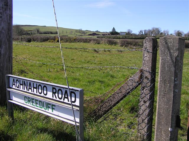 IndicatedEnclosure · 4 yd
 Agow TopMountain / peak · 1462 yd
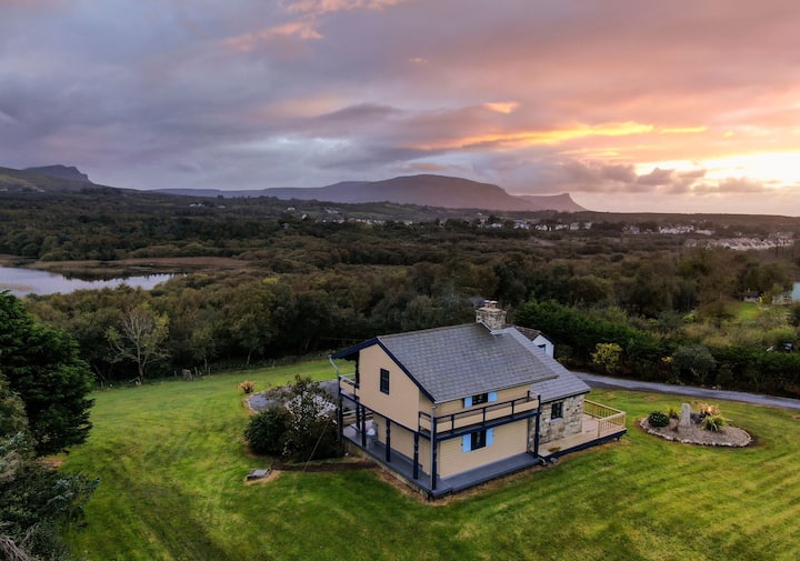 Enclosure in LissiniskaEnclosure · 1.4 mi
 Fowley's FallsPicnic place · 2.1 mi
 Giant's GraveArchaeological place · 2.1 mi
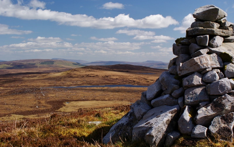 Aganny TopMountain / peak · 2.3 mi
 Church in DerrynahimmirkChurch · 2.5 mi
 Kilroosk RockNamed rock · 2.5 mi
 RC ChapelChurch · 2.6 mi
 Ashisland WoodForest · 3.2 mi
 Longhill WoodForest · 3.3 mi
 Ross PointHeadland · 3.5 mi