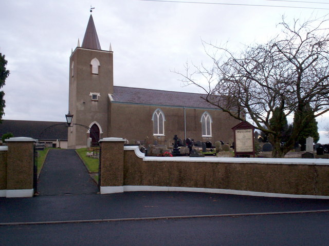
What is recorded here
Indicated is a forty-metre fairy fort on a SSW-facing slope in County Kerry, where an inner earthen bank and outer scarp still divide the pasture. The townland boundary curves to respect the rath, following the hidden fosse along the western arc as if the land itself remembers the shape. A possible entrance at SE suggests people once stepped through, perhaps to tend animals, perhaps to visit the fairies, while the level interior waited patiently for both.
In pasture, on a SSW-facing slope. A circular area (c. 40m N-S; c. 40m E-W) defined by an inner earthen bank (Wth 6.5m; int. H 0.95m; ext. H 1.25m) NW-SE and by a scarp SE-NW. An intervening fosse (Wth 1.6m) is visible NW-E. An outer bank is evident NW-E, incorporated into the field boundary system at N and ENE. The raised interior is level. There is a possible entrance through the inner bank at SE. The townland boundary, which curves to respect the rath, appears to be following the line of the intervening fosse along the W arc.
Compiled by: Elizabeth Byrne, Ursula Egan and Sheila Ronan, Archaeological Survey Unit, University College, Cork.
Date of upload: 31 January 2011
The monument record does not grant public access. Check the route and ask the landowner before entering private land.
- What survives
- Recorded monument
Places near here
 IndicatedFairy fort / earthen ringfort · 267 yd
 Water millWater mill, horizontal-wheeled · 420 yd
 Enclosure in Barleymount EastEnclosure · 1184 yd
 Aghadoe Church (in Ruins)Church · 1.3 mi
 Aghadoe Early Medieval Ecclesiastical SiteHeritage attraction · 1.3 mi
 Parkavonear CastleCastle · 1.3 mi
 Famine MemorialMemorial · 2.5 mi
 Circular WalkWalking route · 2.6 mi
 GinkgoGinkgo · 2.7 mi
 Giant SequoiaGiant Sequoia · 2.8 mi
 Kerry 2nd Brigade of the Irish Republican ArmyMemorial · 2.8 mi
 Lamb IslandIsland · 2.9 mi
Other information
Photo: Credit not shown in the picture search · Rights wording not checked; contact us if this picture should be removed