What is recorded here
Indicated was a small oval island at the south end of a narrow bay on Garadice Lough, visible only on the 1835 map before silt swallowed it into the mainland. It may have been a crannog, a hidden home or refuge where people lived above the water and vanished when the lake changed. Now it is an inaccessible clump of trees in reed-swamp, preserving the shape of a life the land forgot.
Situated at the S end of a narrow N-S bay (dims c. 450m N-S; c. 50-100m E-W) at the SE angle of Garadice Lough. A small oval island (dims c. 20m NW-SE; c. 10m NE-SW) is depicted only on the 1835 edition of the OS 6-inch map. This area is silted up on the revised 1944 edition of the map and it is now an inaccessible clump of trees attached to the mainland by a reed-swamp.
The above description is derived from 'The Archaeological Inventory of County Leitrim' compiled by Michael J. Moore (Dublin: Stationery Office, 2003). In certain instances the entries have been revised and updated in the light of recent research.
Date of upload: 23 September 2008
The monument record does not grant public access. Check the route and ask the landowner before entering private land.
- What survives
- Recorded monument
Places near here
 Crane IslandIslet · 482 yd
 BatteryBawn · 511 yd
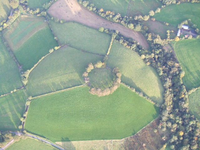 Fairy fort / earthen ringfort in MullyasterFairy fort / earthen ringfort · 658 yd
 Cherry IslandIslet · 949 yd
 Bawn in Cherry IslandBawn · 1026 yd
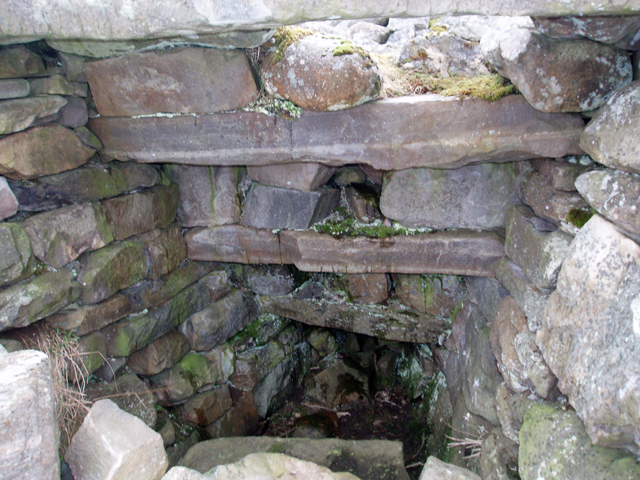 Outlined, Corn KilnEnclosure · 1107 yd
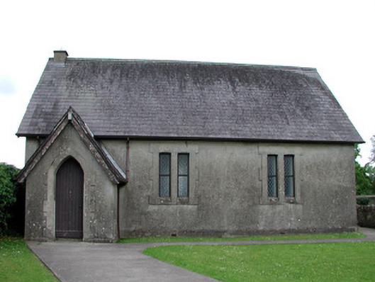 Newtown Gore Methodist Churchchurch/chapel · 1161 yd
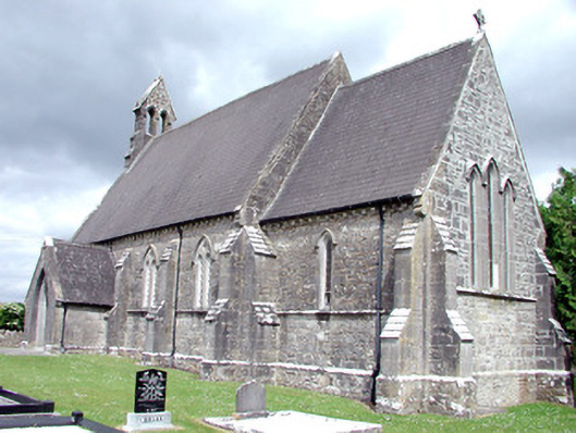 Saint Patrick's Church (Carrigallen)church/chapel · 1502 yd
 Swan Island pet farmHeritage attraction · 1665 yd
 DerrynigginMountain / peak · 1.3 mi
 Black PoplarBlack Poplar · 1.3 mi
 DrummuckerMountain / peak · 2.1 mi