What is recorded here
Indicagted is a ruined fairy fort on a Meath summit where a curved bank once enclosed a green dancing place. Quarrries have bitten through its circle and a laneway now cuts across the ancient line, but the grass still holds the shape of a hidden hall. People may have danced there before roads or forgotten the name entirely. The fort does not need witness to keep existing.
Located on a local summit in a gently undulating landscape. A farmyard described as ‘Fort alias Dancing Green’ is depicted on a manuscript map (21 F 15 (15)) in the National Library of Ireland which is undated but probably early nineteenth century in date. A curved field bank is represented S-W-N on the 1836 edition of the OS 6-inch map and this is replaced by a laneway circumventing the area SE-W-N on the 1912 edition. This is a raised circular grass-covered area (diam. 51m E-W; 48m NNE-SSW) defined by a broad scarp (Wth 7m; H 1.2m) SW-NW and a field bank on top of the scarp (H c. 2m) N-SE but the perimeter is cut by a grass-covered quarry NW-N and a modern quarry (D c. 4m) SE-SW.
The above description is derived from the published 'Archaeological Inventory of County Meath' (Dublin: Stationery Office, 1987). In certain instances the entries have been revised and updated in the light of recent research.
Compiled by: Michael Moore
Date of revision: 12 August 2019
The monument record does not grant public access. Check the route and ask the landowner before entering private land.
- What survives
- Recorded monument
Places near here
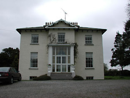 Harristown Housecountry house · 1218 yd
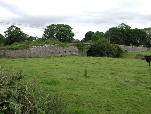 Castlejordan Bridgebridge · 1.2 mi
 Castle JordanArchaeological place · 1.2 mi
 IndicatedBawn · 1.2 mi
 Roundhill WoodForest · 1.5 mi
 EnclosureEnclosure, large enclosure · 1.6 mi
 Rahin WoodsForest · 1.7 mi
 TobernakillHoly well · 1.9 mi
 Croppies' GraveMemorial · 4.3 mi
 Moat HillMountain / peak · 4.7 mi
 Clonin EarthworksMountain / peak · 6.2 mi
 The Fairy BowerHeritage attraction · 11 mi