What is recorded here
The official Northern Ireland record identifies this as INAUGURATION SITE: THE CORONATION STONE of the CLAN McGUINNESS. Recorded period: UNCERTAIN. The official map point was placed at the centre of the recorded archaeological site from the source map reference.
The Coronation Stone of the Clan McGuinness was traditionally used for the inauguration of clan chieftains in Dromore, reflecting ancient Gaelic customs of leadership succession. Such stones were often considered sacred, symbolizing the continuity and divine right of the clan lineage.
The monument record does not grant public access. Check the route and ask the landowner before entering private land.
- What survives
- Recorded monument
Places near here
 Joanne ReillyMemorial · 761 yd
 Warrenpoint Parish ChurchChurch · 1069 yd
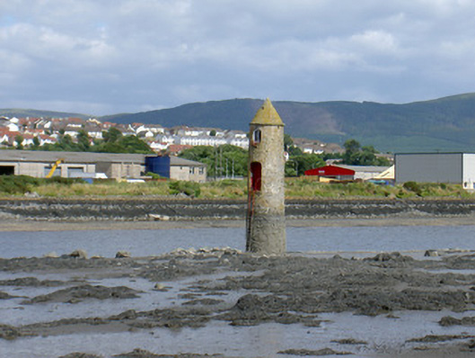 Newry River Lighthouse (Front)beacon · 1133 yd
 Warrenpoint ambushambush · 1441 yd
 Narrow Water WatchtowerVisitor information · 1490 yd
 TOWER-HOUSE AND BAWN: NARROW WATER CASTLE in Narrow WaterTOWER-HOUSE AND BAWN: NARROW WATER CASTLE · 1494 yd
 Narrow Water KeepHeritage attraction · 1497 yd
 Ecclesiastical site in CornamucklaghEcclesiastical site · 1503 yd
 A.P. SITEA.P. SITE, bivallate enclosure · 1746 yd
 Narrow Water CastleCastle · 1.0 mi
 Dobbin's PointHeadland · 1.3 mi
 Carlingford Lough GreenwayWalking route · 1.9 mi