What is recorded here
Illaunyweahagane is a circular crannog in Lough Allua, built from boulders and timber by the Cineal Laoghaire. Seventy-three wooden posts still pierce the water, marking the ghost of a palisade that once kept out predators and strangers. The lake has swallowed the passage Lunham described, but the island remains a stubborn ring of human making, half-drowned and half-remembered.
In Lough Allua, on the River Lee c. 2.9km W of Inchigeelagh. Named 'Illaunyweahagane' on 1842 and 1904 OS 6-inch maps; translated by O'Donoghue (1986, 244) as 'Oilean Uí Mhaothagain (Meighan's island) from a Cineal Laoghaire chieftain'. Lunham (1909, 22) noted 'many of the wooden piles forming the substructure of the crannoge are still visible and a passage raised above the level of the lake's bed leads to a rath in the vicinity of the shore' (CO081-011----). Briefly inspected by Tony Balfe in January 1994 under licence from the OPW. He described a roughly circular artificial island (circumference 65-70m) composed of boulders. Remains of perimeter palisade visible NNE->SW; 73 wooden posts (diam. c. 0.1- 0.12m) ranging in height from just level with the lake bed to 1m on the S side. At W side spread of boulders covers palisade. Centre inaccessible due to overgrowth. Raised passage mentioned above was not found.
The above description is derived from the published 'Archaeological Inventory of County Cork. Volume 3: Mid Cork' (Dublin: Stationery Office, 1997). In certain instances the entries have been revised and updated in the light of recent research.
Date of upload/revision: 14 January 2009
The monument record does not grant public access. Check the route and ask the landowner before entering private land.
- What survives
- Recorded monument
Places near here
 Megalithic structure in CoornahahillyMegalithic structure · 1325 yd
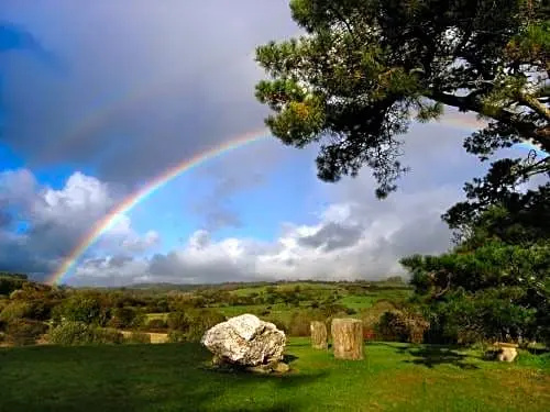 Boulder-burial in CooragreenaneBoulder-burial · 1556 yd
 Mass-house in Na CurraitheMass-house · 1.6 mi
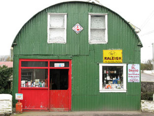 shop/retail outletshop/retail outlet · 1.9 mi
 Mount ProspectMountain / peak · 2.3 mi
 CarriganineMountain / peak · 2.5 mi
 Gortnahoughtee Mass RockNamed rock · 2.7 mi
 Carrignacurra CastleCastle · 2.8 mi
 Port Ban Nature Reserve, Irish Wildlife TrustNature reserve · 3.6 mi
 Castle (Site of)Castle, unclassified · 4.6 mi
 European long distance path E8 - part IrelandWalking route · 5.0 mi
 Sli Gaeltacht MuscraiWalking route · 5.1 mi