What is recorded here
Situated in a conifer plantation on the demesne lands of Pakenham Hall 990m to N. Annotated as a small mound beside a small circular enclosure on OSi Fair Plan map. Depicted as a mound on the 1837 ed. OSi 6-inch map but not indicated on subsequent editions. On this map the ice house is shown standing immediately to W of a lake that has been subsequently reduced in size with pathway 85m to W. Present remains consist of a circular, brick-built ice house with a cut stone man-hole on top. No trace of a side entrance. 18th century ice-house associated with Pakenham Hall.
Tullynally ice house described by Carson (2009, 120-1) as follows; 'Near the top of the ridge into which the ice house has been cut is a depression in the ground. In the centre is a grill over the filling of the aperture in the masonry roof of the ice house. Inspection of the rectangular hole above the grille reveals tapered sides to provide a good fit for a closing plug'.
Compiled by: Frank Coyne & Caimin O'Brien
Date of upload: 21 February 2017
The monument record does not grant public access. Check the route and ask the landowner before entering private land.
- What survives
- Recorded monument
Places near here
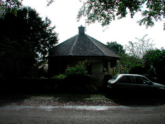 Fifty Pence Housegate lodge · 312 yd
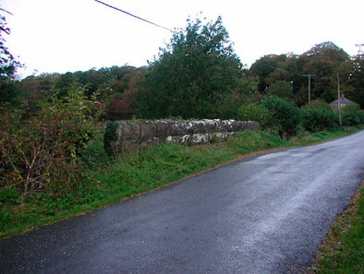 Clonteen Bridgebridge · 404 yd
 Bawn in KiltoomBawn · 1064 yd
 CastleCastle, unclassified · 1129 yd
 IndicatedFairy fort / ringfort · 1227 yd
 ToberawaughHoly well · 1318 yd
 European BeechEuropean Beech · 1360 yd
 Pedunculate OakPedunculate Oak · 1688 yd
 Rock of CurryCliff · 4.0 mi
 Bridge Memorial (Kenna)Memorial · 4.1 mi
 St Feichin's MillHeritage attraction · 4.2 mi
 Fore AbbeyHeritage attraction · 4.3 mi