
What is recorded here
Situated in pasture-land on the N face of a ridge which runs NW-SE, with good views to the NE & W. Castle (WM007-026----) 520m to E, church (WM007-008----) and graveyard (WM007-008001-) 400m to W. Annotated on the OS Fair Plan as a sub-triangular enclosure with some trees in the interior, marked ‘fort’. Traces of a poorly preserved bank remain from NE-E. The remainder of this site has been levelled. Visible as a cropmark on Digital Globe aerial photograph taken November 2011.
Compiled by: Frank Coyne and Caimin O'Brien
Date of upload: 11 April 2017
The monument record does not grant public access. Check the route and ask the landowner before entering private land.
- What survives
- Recorded monument
Places near here
 ToberawaughHoly well · 262 yd
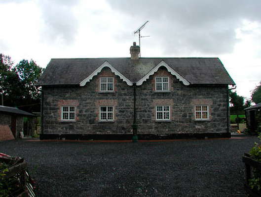 worker's houseworker's house · 381 yd
 Site of Church & Grave YardChurch · 511 yd
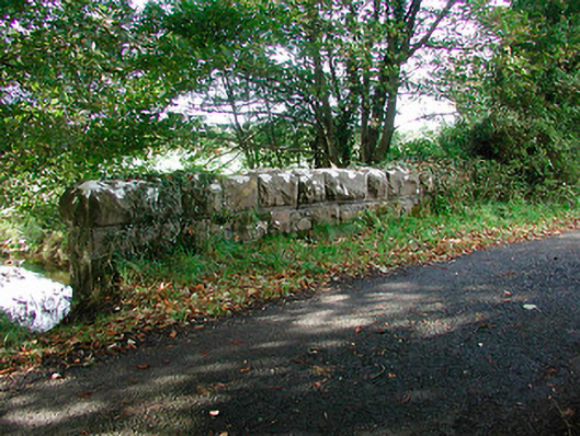 Kiltoom Bridgebridge · 605 yd
 Bawn in KiltoomBawn · 634 yd
 Mortimer's CastleArchaeological place · 1.2 mi
 European BeechEuropean Beech · 1.4 mi
 Pedunculate OakPedunculate Oak · 1.6 mi
 Bridge Memorial (Kenna)Memorial · 3.4 mi
 Rock of CurryCliff · 4.6 mi
 St Feichin's MillHeritage attraction · 4.7 mi
 Fore AbbeyHeritage attraction · 4.8 mi
Other information
Photo: Credit not shown in the picture search · Rights wording not checked; contact us if this picture should be removed