What is recorded here
One of two rectangular enclosures (see WI027-026005-), which lie between the ramparts on the NE side of Rathcoran hillfort (WI027-026001-). Each is defined by a low bank of earth and stone and has a slightly sunken interior. Both measure 15m x 15m.
Compiled by: Mary Tunney
Date of upload: 18 December 2012
The monument record does not grant public access. Check the route and ask the landowner before entering private land.
- What survives
- Recorded monument
Places near here
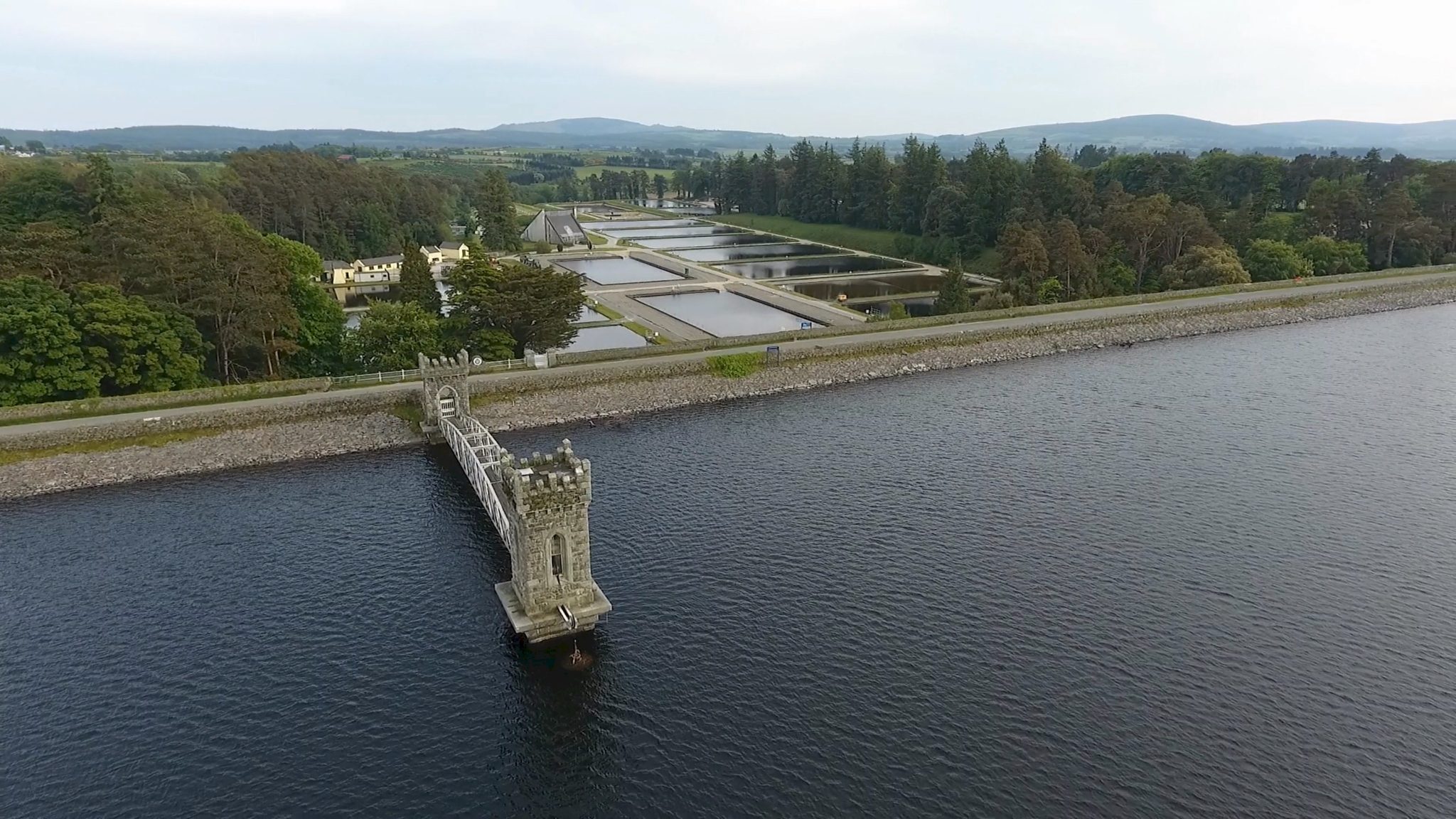 Rathcoran, CaveHillfort · 160 yd
 Rahcoran FortArchaeological place · 181 yd
 Church (in Ruins), Grave Yard (Disused)Church · 1571 yd
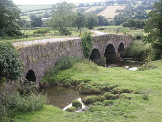 Eldon Bridgebridge · 1718 yd
 CastleCastle, tower house · 1.2 mi
 MoatamoyCastle, motte · 1.3 mi
 Tinoran HillMountain / peak · 2.2 mi
 Sam McAllistair GraveMemorial · 2.2 mi
 Saint Brigit's Mass StoneNamed rock · 2.2 mi
 Saint Brigit's ChairNamed rock · 2.3 mi
 Rahill Church (in ruins), GraveyardChurch · 2.9 mi
 Ballyhook HillMountain / peak · 3.2 mi