What is recorded here
Within the N enclosing element of an enclosure (CO126-026----). The remains of a roughly oval hut site (5.5m NW-SE; 4m NE-SW) defined by a substantial drystone wall (T 0.9m; H 0.6m) consisting mainly of large stones. The entrance (Wth 0.5m) is situated at the E. Rubble, some of which is grass-covered, is scattered within the level interior.
The above description is derived from 'The Archaeological Inventory of County Cork. Volume 5' (Dublin: Stationery Office, 2009).
Date of upload: 22 December 2009
The monument record does not grant public access. Check the route and ask the landowner before entering private land.
- What survives
- Recorded monument
Places near here
 Field boundary in Tilickafinna (dursey Island)Field boundary · 32 yd
 Hut site in Tilickafinna (dursey Island)Hut site · 604 yd
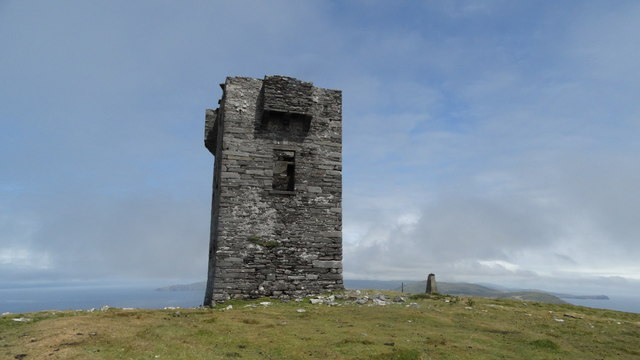 Cnoc BólaisMountain / peak · 1496 yd
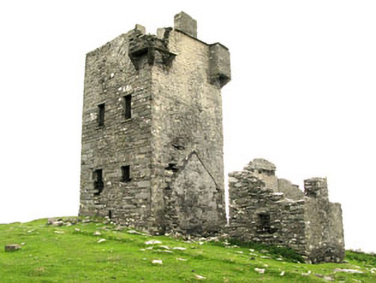 Dursey Watch Towersignal tower · 1533 yd
 Dursey IslandIsland · 1.2 mi
 The CalfIslet · 1.8 mi
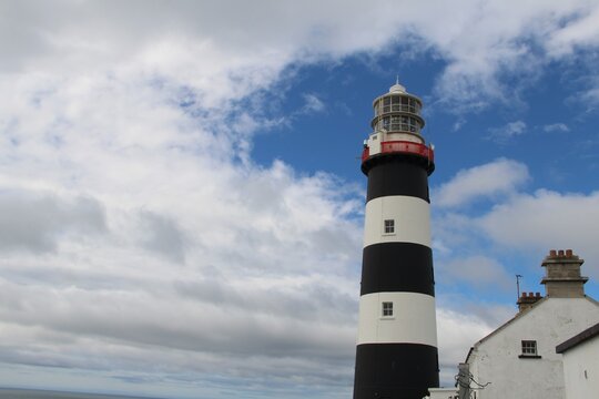 Old LighthouseRuins · 1.8 mi
 The CowIslet · 2.2 mi
 Fort (in Ruins)Castle, unclassified · 2.9 mi
 Dursey Cable CarHeritage attraction · 3.1 mi
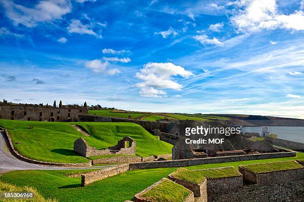 TranaduileasgBeach / strand · 4.3 mi
 Garnish StrandBeach / strand · 4.3 mi