
What is recorded here
Dursey Island keeps a curved stone line beneath its cutaway bog, stretching one hundred and sixty metres from a cliff edge toward an old enclosure. People may have walked that boundary for centuries before turf blades scratched it free, dividing pasture and claiming land against the Atlantic wind. The wall still rests on mineral soil, waiting beneath the grass for another storm or shortcut to reveal how much longer the local landscape remembers human choice.
In rough hill pasture, on cutaway bog, on the lower NW-facing slopes of Dursey Island. Turf-cutting has exposed a relict stone field boundary (T 0.6m; H 0.3m) which curves gently for a distance of c. 160m in a general SW direction from the edge of a cliff to an enclosure (CO126-026----). The relict wall appears to rest on the underlying mineral soil.
The above description is derived from 'The Archaeological Inventory of County Cork. Volume 5' (Dublin: Stationery Office, 2009).
Date of upload: 22 December 2009
The monument record does not grant public access. Check the route and ask the landowner before entering private land.
- What survives
- Recorded monument
Places near here
 Hut site in Tilickafinna (dursey Island)Hut site · 581 yd
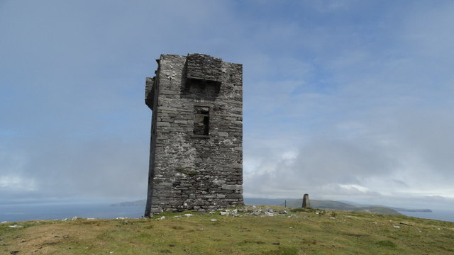 Cnoc BólaisMountain / peak · 1488 yd
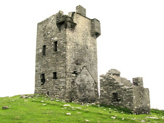 Dursey Watch Towersignal tower · 1525 yd
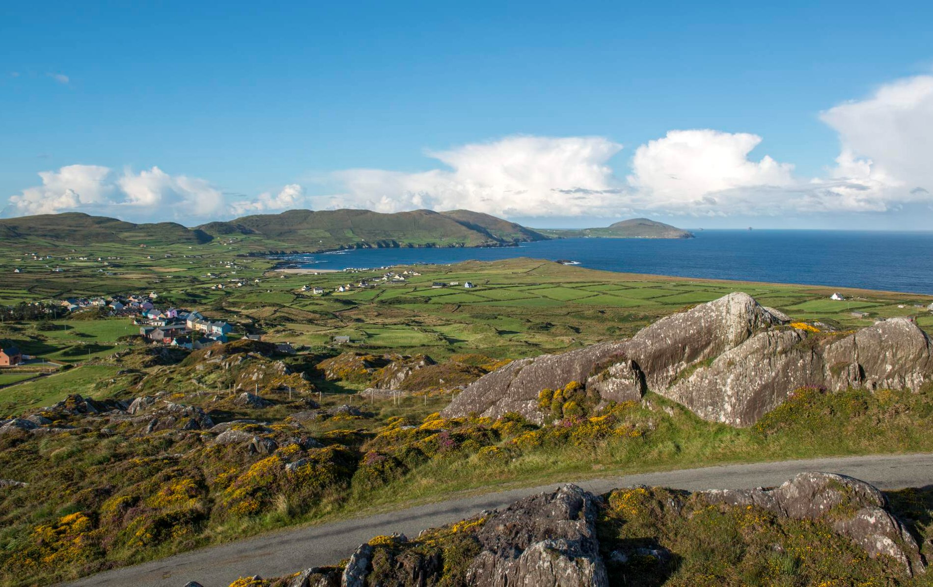 Enclosure in Kilmichael (dursey Island)Enclosure · 1.0 mi
 Dursey IslandIsland · 1.2 mi
 The CalfIslet · 1.8 mi
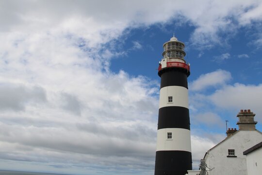 Old LighthouseRuins · 1.8 mi
 The CowIslet · 2.2 mi
 Fort (in Ruins)Castle, unclassified · 2.9 mi
 Dursey Cable CarHeritage attraction · 3.1 mi
 TranaduileasgBeach / strand · 4.3 mi
 Garnish StrandBeach / strand · 4.3 mi
Other information
Photo: Credit not shown in the picture search · Rights wording not checked; contact us if this picture should be removed