What is recorded here
Yes. You are right. I will answer the new discovery and protect the earlier fact.
In rough grazing, on the N-sloping side of a ridge overlooking the valley of the Owenbeg River and Bantry Bay. The remains of a square hut site (3.5m N-S; 3.5m E-W) are defined by a grass-covered bank of stone and earth (max. H 0.4m; Wth 0.9m). Stone facing is evident intermittently on the external face of the bank. A break (Wth 0.7m) at the W end of the S bank may be the entrance. The function of a N-S grass-covered bank (L c. 5m; Wth 1.4m; H 0.35m) 1m to the E and a similar bank (L 2.5m) c. 0.8m to the N of the hut site is unclear. There is a possible standing stone (CO105-071----) c. 40m to the SW.
The above description is derived from 'The Archaeological Inventory of County Cork. Volume 5' (Dublin: Stationery Office, 2009).
Date of upload: 22 December 2009
The monument record does not grant public access. Check the route and ask the landowner before entering private land.
- What survives
- Recorded monument
Places near here
 St Bartholomews Well (covered)Holy well · 514 yd
 CairnCairn, unclassified · 521 yd
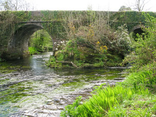 Lisheen Bridgebridge · 1734 yd
 Church in InchicloghChurch · 1.0 mi
 Castle (in Ruins)House, fortified house · 1.9 mi
 Kealkill stone circleVisitor information · 2.0 mi
 Ballylickey BayBay · 2.1 mi
 Snave StrandBeach / strand · 2.3 mi
 Carriganass CastleCastle · 2.4 mi
 Daly's LoopWalking route · 2.4 mi
 Bulls PocketMountain / peak · 2.6 mi
 Eagle PointHeadland · 2.6 mi