What is recorded here
Thirty-six feet across and half a metre high, the hut site in Rosskeeragh crouches beside a rath on a steep drumlin. Its flat top and circular shape suggest a small dwelling rather than a grand hall, yet it still stands where people once lived. The mound may have sheltered a family, a herdsman or a solitary thinker watching the valley below.
Situated c. 20m NW of a rath (CV015-069001-), close to the summit of a steep drumlin hill. Low circular, flat-topped earthen mound (diam. 13.2m; H 0.5m).
The above description is derived from the published 'Archaeological Inventory of County Cavan' (Dublin: Stationery Office, 1995). In certain instances the entries have been revised and updated in the light of recent research.
Date of upload/revision: 22 December 2008
The monument record does not grant public access. Check the route and ask the landowner before entering private land.
- What survives
- Recorded monument
Places near here
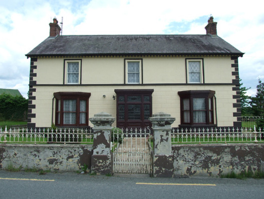 Sugarloafhouse · 811 yd
 Friar's FortArchaeological place · 988 yd
 Friars Fort (Site of)Enclosure · 998 yd
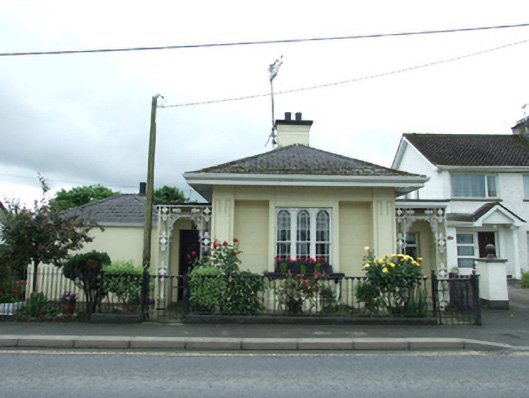 Erne Hill Lodgegate lodge · 1007 yd
 Belturbet Heritage Railway Station MuseumMuseum · 1378 yd
 Welcome to Belturbet StationVisitor information · 1389 yd
 Belturbet Railway Station Visitor CentreHeritage attraction · 1394 yd
 Putiaghan Lower ForestForest · 1451 yd
 Bomb Victims MemorialMemorial · 1730 yd
 Turbet IslandWood · 1.1 mi
 Mill WalkVisitor information · 1.1 mi
 Turbet Island Castle Motte and BaileyArchaeological place · 1.1 mi