What is recorded here
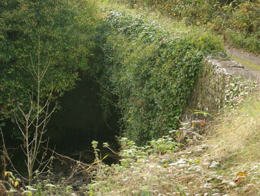
In pasture, located on a limestone terrace overlooking a small steam valley. Ground falls from the N edge of the terrace for c. 10m to the banks of the stream. Rectangular area (7m N–S; 6m E–W) defined by a ruined stone wall. The wall is evident as a moss-covered stone bank (Wth 1m; H 0.4-0.45m). The poorly defined outline of a possible annex (c. 2.5m N–S; c. 2.5m N–S) is appended to the N end of the hut site, coinciding with the natural fall of ground at the N edge of the terrace. A later, E-W drystone field wall cuts across the S end of the hut site.
Attached image:
DG103-086----_01.JPG viewed from W
Compiled by: Jane O'Shaughnessy
Date of upload: 7 July 2015
The monument record does not grant public access. Check the route and ask the landowner before entering private land.
- What survives
- Recorded monument
Places near here
 Enclosure in Brownhall DemesneEnclosure · 360 yd
 Enclosure in Rockhill (cavangarden Ed)Enclosure · 363 yd
 Brownhallcountry house · 1044 yd
 Aghadullagh Bridgebridge · 1114 yd
 Castle (Site of)Castle, unclassified · 1.7 mi
 HawthornHawthorn · 2.9 mi
 MurvaghOfficial bathing water · 3.3 mi
 Rooney's IslandIslet · 3.8 mi
 Ballyboyle IslandIslet · 4.7 mi
 RossnowlaghOfficial bathing water · 4.7 mi
 Ballyboyle Castle (Site of)Castle, tower house · 4.8 mi
 Wych ElmWych Elm · 5.1 mi