What is recorded here
Situated on a rise in a low-lying landscape. Visible as a circular feature on aerial photographs (OS: 516946-7). This is a grass-covered circular earth and stone platform (ext. diam. 7.2m; H 0.9m) with a slight hollow (D 0.2m) at the centre and traces of a wall-footing (Wth c. 1m) visible at N.
The above description is derived from 'The Archaeological Inventory of County Leitrim' compiled by Michael J. Moore (Dublin: Stationery Office, 2003). In certain instances the entries have been revised and updated in the light of recent research.
Date of upload: 23 September 2008
The monument record does not grant public access. Check the route and ask the landowner before entering private land.
- What survives
- Recorded monument
Places near here
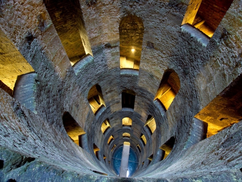 St. Patricks WellHoly well · 818 yd
 IndicatedHoly well · 959 yd
 Giant's GraveArchaeological place · 1263 yd
 Saint Patrick's Catholic Churchchurch/chapel · 1.2 mi
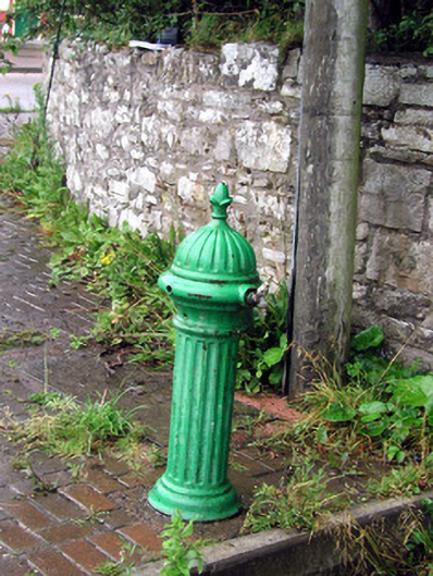 water pumpwater pump · 1.4 mi
 Bawn in DuncarbryBawn · 1.5 mi
 Bundrowes Castle (Site of)Castle, unclassified · 1.8 mi
 Creevykeel Court TombNeolithic court tomb · 3.3 mi
 assassination of Louis Mountbatten, 1st Earl Mountbatten of Burmaassassination · 3.4 mi
 BundoranOfficial bathing water · 3.6 mi
 Unbaptised Children MonumentMemorial · 3.7 mi
 Classiebawn WoodsWood · 3.9 mi