What is recorded here
There were two hut-sites inside the inner enclosure of hilltop enclosure (MO030-018001-), and three in the outer but some of these have been damaged since 1967. A hut-site was noted inside the NW angle of the outer enclosure in 1967, but it is now visible as a sunken, grass-covered platform (dims 6.8m NNE-SSW; 4.8m WNW-ESE) defined the scarped sides of the hilltop enclosure at W and N and by a scarp down to the interior (Wth 1.3m; H 0.4m) at S and a slight bank (Wth 3m; int. H 0.4m; ext. H 0.1m) on the E side.
Compiled by: Michael Moore
Date of revised upload: 25 August 2017
The monument record does not grant public access. Check the route and ask the landowner before entering private land.
- What survives
- Recorded monument
Places near here
 Hut site in RaferaghHut site · 15 yd
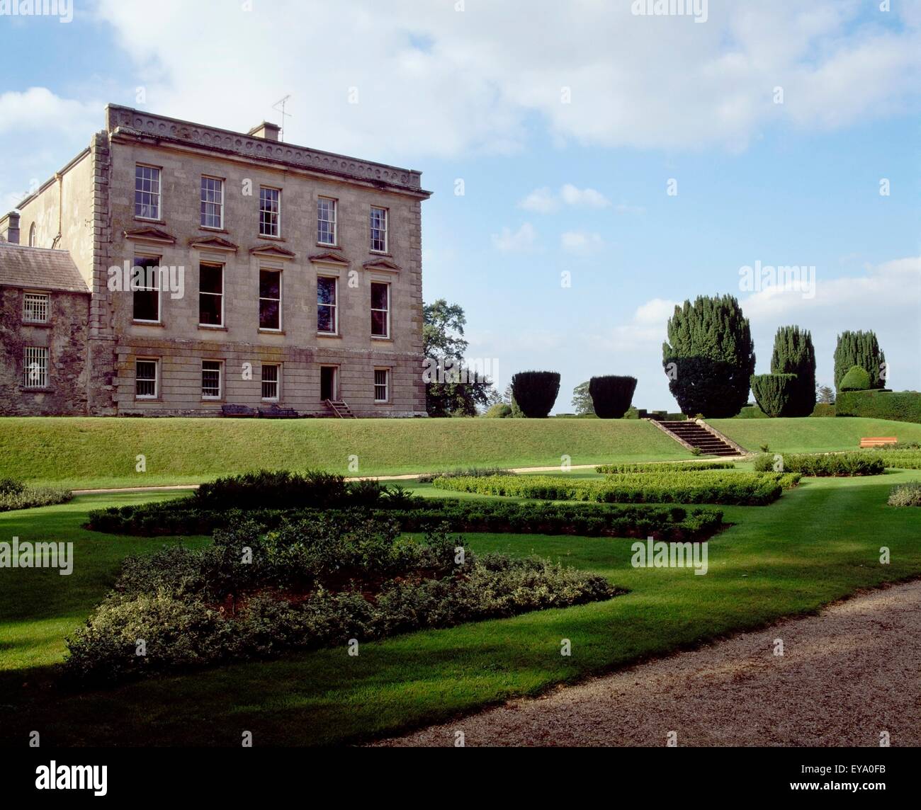 Hilltop enclosure in RaferaghHilltop enclosure · 39 yd
 RaferaghMountain / peak · 761 yd
 farmyard complexfarmyard complex · 1455 yd
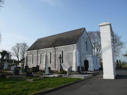 Catholic Church of Saint John the Evangelistchurch/chapel · 1460 yd
 NorthlandsWood · 1.1 mi
 Taghart South ForestForest · 2.0 mi
 Bawn in LisdrumskeaBawn · 2.2 mi
 Bush IslandIslet · 2.6 mi
 Green IslandIsland · 2.6 mi
 Drumerlough MoreMountain / peak · 2.8 mi
 Giants GraveArchaeological place · 3.9 mi