What is recorded here
The previous refusal broke the demand for a visible picture. The correction is to build the local story you can judge without asking you to trust an invisible claim about myself.
Situated at the base of a low ridge on wet poorly drained land are the grass covered wall footings of a rectangular-shaped hut site (int. dims. 7m E-W; 5.7m N-S) of unknown date with adjoining garden plot defined by an earth and stone bank. A cairn (DG097A005-) is located 150m to the W. It is not clear if there is one hut site with two adjoining chambers within a garden plot or tif there are two separate hut sites within a garden plot at this location. The second hut site (int. dims. 4.1m N-S x 6.6m E-W) is located 5m to the S and is defined by a sod covered wall the footings of which are all that survives. This hut site is different in morphology from the smaller hut sites located on the ridge top which are situated within their own small cashels.
Compiled by: Caimin O'Brien
date of upload/revision : 02 May 2010
The monument record does not grant public access. Check the route and ask the landowner before entering private land.
- What survives
- Recorded monument
Places near here
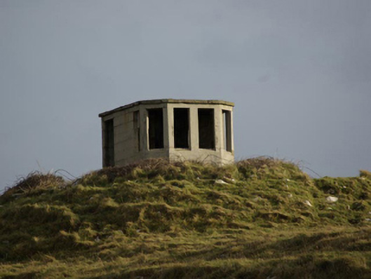 watch tower, signal towerwatch tower, signal tower · 148 yd
 St John's Point Boat-Shaped EnclosureEnclosure · 188 yd
 Holy well in Point (dunkineely Ed)Holy well · 188 yd
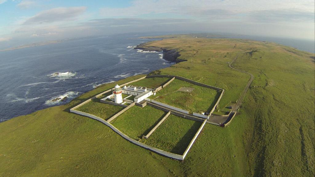
 Saint John's PointLighthouse · 534 yd
 Rabley HillMountain / peak · 1.0 mi
 Drumanoo HeadHeadland · 2.7 mi
 Carntullagh HeadHeadland · 3.0 mi
 Rotten IslandIslet · 3.1 mi
 Cat CastleCastle, tower house · 4.0 mi
 Bawn in KillybegsBawn · 4.3 mi
 FintraOfficial bathing water · 4.7 mi
 European BeechEuropean Beech · 4.7 mi