What is recorded here
On a steep S-facing slope on a slight terrace 2m N of a track. A circular hut site (int. diam. 3.5m x 3.5m; Wth of surviving walls 0.8-1m) defined by a low stone wall overgrown with furze on the N side. The inner face of the wall is well preserved at W with a continuous 2m stretch of upright flags rising 0.2-0.4m above ground level. The wall is mostly missing at S but one slightly larger internal facing stone (H 0.5m) may mark the W jamb of the doorway. Another hut site (WI027-083----) lies c. 23m to the NE.
Compiled by: Con Manning and Mary Tunney
Date of upload: 24 October 2012
The monument record does not grant public access. Check the route and ask the landowner before entering private land.
- What survives
- Recorded monument
Places near here
 RathcoranArchaeological place · 236 yd
 Rahcoran FortArchaeological place · 334 yd
 Church (in Ruins), Grave Yard (Disused)Church · 1494 yd
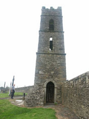 Baltinglass Catholic Chapelchurch/chapel · 1530 yd
 CastleCastle, tower house · 1.1 mi
 MoatamoyCastle, motte · 1.2 mi
 Sam McAllistair GraveMemorial · 2.2 mi
 Saint Brigit's Mass StoneNamed rock · 2.2 mi
 Tinoran HillMountain / peak · 2.3 mi
 Saint Brigit's ChairNamed rock · 2.4 mi
 Rahill Church (in ruins), GraveyardChurch · 2.6 mi
 Ballyhook HillMountain / peak · 3.4 mi