What is recorded here
Situated on a S and SE-facing slope. Archaeological testing (08E0949) by A. Hayden on the site of a new sports pitch (excavations.ie 2008:975) recorded a burnt mound, medieval property boundaries and the site of a holy well (Tobernamuc – the pig’s well) of which nothing survived. The excavation was continued with the same director and under the same licence in April and May 2009 (excavations.ie 2009: 658), although the details are not available and the precise location of features is not known. There was a circular hut-site (diam. 6-6.4m) defined by a single or double line of posts, but its doorway (Wth c. 1m) at SE was marked by larger post-holes with pad-stones. A hearth (diam. 1m) with an oxidised base was displaced from the centre but it was linked to a second unburnt pit. The hut-site was enclosed on the S side by part of a double line of posts. Also excavated were a fulacht fia (ME006-071002-), and portions of six medieval properties extending NW-SE over the area (ME006-071003-).
Compiled by: Michael Moore
The monument record does not grant public access. Check the route and ask the landowner before entering private land.
- What survives
- Recorded monument
Places near here
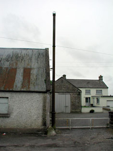 vent pipevent pipe · 105 yd
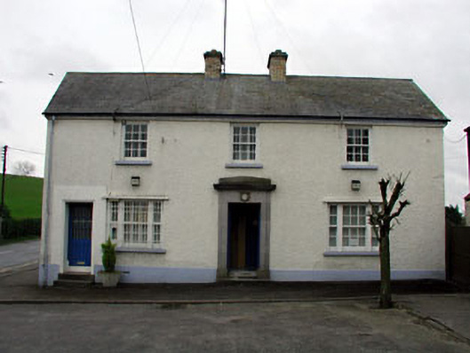 Nobber Garda Síochána Stationhouse · 106 yd
 Cross in NobberCross · 233 yd
 Nobber GreenwayMemorial · 257 yd
 MoatCastle, motte and bailey · 573 yd
 Enclosure in BrittasEnclosure · 1137 yd
 Common LimeCommon Lime · 1425 yd
 Gallows HillMountain / peak · 1500 yd
 Cherburg WoodForest · 1.1 mi
 Ugly HillMountain / peak · 1.3 mi
 Castletown FortCastle, motte and bailey · 2.6 mi
 Owenroe and Moynalty DrainageMemorial · 3.5 mi