What is recorded here
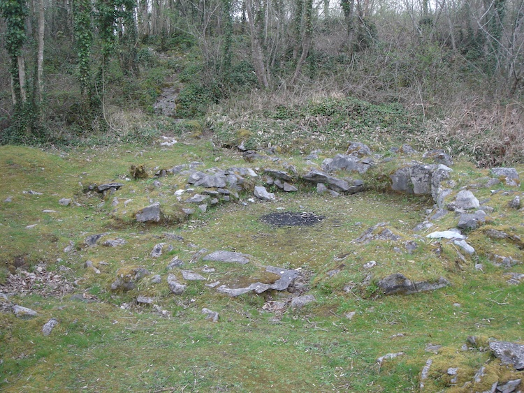
Eleven stones marked a quarter-circle of a small round house, and a damaged saddle quern lay embedded in the arc like a forgotten tool. The rampart builders later destroyed the remainder, burying the dwelling beneath earth and stone while furrows cut through what survived. Animal bone from the floor dates the hut to 998-835 cal. BC, placing ordinary life inside Mooghaun hillfort before its defences rose.
Situated inside the middle rampart in the SE quadrant of Mooghaun hillfort (CL042-074001-). A hut site, excavated in 1995 (licence no. 92E0093) as part of the North Munster Project of the Discovery Programme. This hut site was on a higher level but in the same location as structure A (CL042-074021-). It was indicated by an arc of 11 stones marking about a quarter of a circle c. 6m in diameter. A damaged saddle quern was incorporated into this arc. The destruction of the remainder of the house, including a possible line of outer walling, appears to have taken place during the construction of the earth and stone bank of the rampart. The structure was completely disturbed by a later intensive system of furrows. Animal bone from the house produced a radiocarbon date of 998-835 cal. BC (UB-4279). (Grogan 2005, vol. 1, 176-7, fig. 6.16)
Compiled by: Mary Tunney
Date of upload: 5 January 2016
The monument record does not grant public access. Check the route and ask the landowner before entering private land.
- What survives
- Recorded monument
Places near here
 IndicatedHillfort · 93 yd
 Mooghaun HillfortArchaeological place · 128 yd
 Enclosure in Mooghaun SouthEnclosure · 190 yd
 Mooghaun WoodsWood · 424 yd
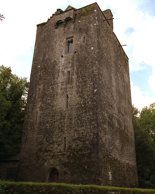 Mooghaun castleCastle · 624 yd
 Castle (in Ruins)Castle, unclassified · 1534 yd
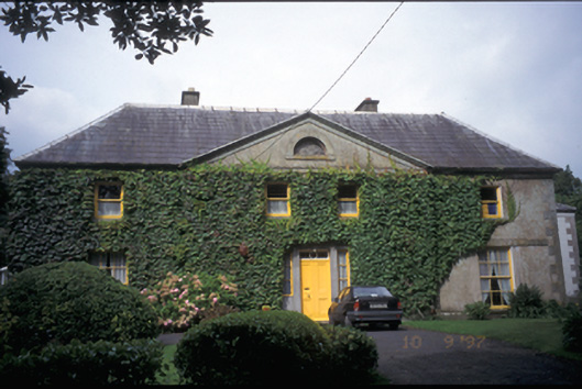 Newmarket Househouse · 1.6 mi
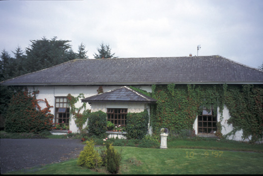 Ballycar Househouse · 1.6 mi
 HawthornHawthorn · 1.9 mi
 Quin AbbeyHeritage attraction · 2.6 mi
 G.A.A. Commemorative StoneMemorial · 4.4 mi
 Irish Famine MemorialMemorial · 4.4 mi