What is recorded here
Three small square hut sites cling to the SE slope of Leahan Mountain, their heather-covered walls barely visible above rushy pasture. They face the sea and Slieve League, joined so closely they may have been one chambered house rather than separate dwellings. A clustered settlement extends 110m east, suggesting this was not a lonely shelter but a small mountain community living where the land drips and the horizon breaks.
In poorly drained rushy covered mountain pasture, on the SE facing slope of Leahan Mountain with views of the sea to the S and Slieve League to the W. There is a clustered settlement of several hut sites (DG089-026004-/010-) 110m to the E. The poorly preserved heather covered remains of what appears to be three small square-shaped adjoining hut sites (DG089-026001/002/003-) or possibly the remains of a single rectangular house with three square-shaped chambers. The wall footings of the W wall of a third possible hut site (DG089-026003-) runs off the NW angle of the middle hut site. Only the grass covered wall footings of the W wall (L 3.2m) of a possible third hut site survives. Located in an area of a dense concentration of hut sites which appear to make up a clustered settlement (DG089-026001/021).
The monument record does not grant public access. Check the route and ask the landowner before entering private land.
- What survives
- Recorded monument
Places near here
 Slieve LeagueMountain / peak · 1.4 mi
 An Trá BhánBeach / strand · 1.4 mi
 Silver Strand ViewpointViewpoint · 1.6 mi
 The DoonPromontory fort, coastal · 1.6 mi
 Droichead Crimlinbridge · 1.8 mi
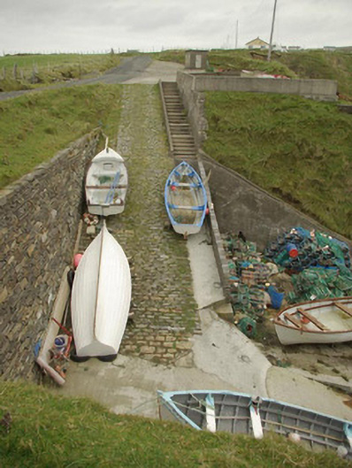 quay/wharfquay/wharf · 1.9 mi
 Slieve League SE TopMountain / peak · 1.9 mi
 Malin Beg / Trabane Bay Coastal Promontory FortPromontory fort, coastal · 1.9 mi
 International Appalachian Trail Ulster-IrelandWalking route · 2.3 mi
 Glencolmcille Folk VillageMuseum · 3.4 mi
 An Trá Bheag (Trá Bheag an Ghleanna)Beach / strand · 3.4 mi
 Rathlin O'Birne IslandIslet · 3.5 mi