What is recorded here
In pasture, on NW-facing slope. Circular area (4.3m N-S; 5.2m E-W) enclosed by low stone wall (H 0.35m) of earth and stone. Internal and external revetment in places.
The above description is derived from the published 'Archaeological Inventory of County Cork. Volume 3: Mid Cork' (Dublin: Stationery Office, 1997). In certain instances the entries have been revised and updated in the light of recent research.
Date of upload/revision: 14 January 2009
The monument record does not grant public access. Check the route and ask the landowner before entering private land.
- What survives
- Recorded monument
Places near here
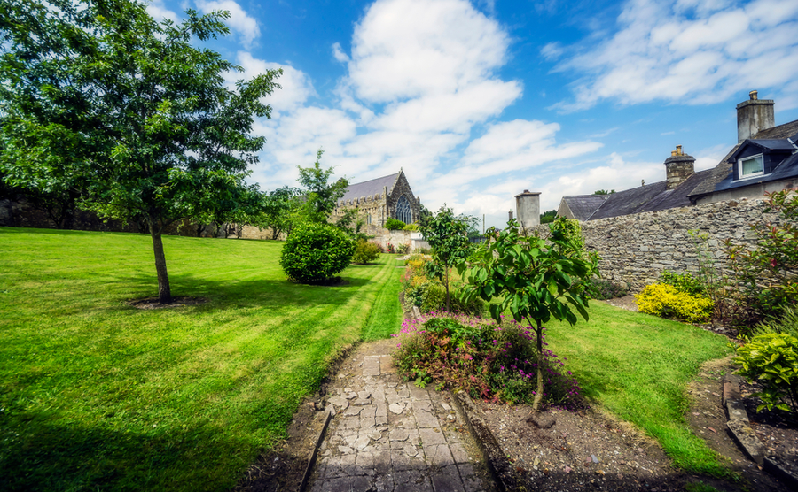 Man-made underground passageMan-made underground passage · 718 yd
 BurrenMountain / peak · 904 yd
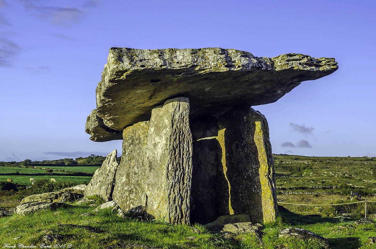 DolmenWedge tomb · 1614 yd
 Carrigagulla HouseCountry house · 1.8 mi
 St John the Baptist Roman Catholic Churchchurch/chapel · 1.9 mi
 Clonavrick CliffCliff · 2.3 mi
 Black WoodWood · 2.4 mi
 Mullinhassig WaterfallWaterfall · 3.7 mi
 Knockduff Wind FarmVisitor information · 3.7 mi
 Mullinhassig WoodWood · 3.8 mi
 Knockcraugh HillMountain / peak · 4.0 mi
 Carrigadrohid Castle InfoVisitor information · 4.8 mi