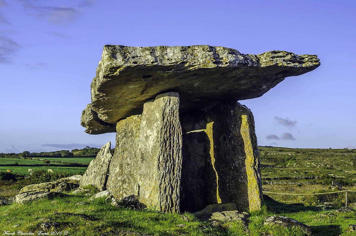
What is recorded here
Dolmen is a wedge tomb in County Cork where three northern and five southern stones still hold a narrow gallery beneath overlapping roofslabs. It sits on flat ground between two hillocks, facing the River Laney valley like a forgotten door left open for people who no longer speak. Cup marks on the capstone suggest hands were busy there, making or marking the stone before burial. The dead may have watched the valley water move, while the living watched the tomb keep its shape against rain, time and forgetting.
On flat tract of land between two hillocks, c. 750m S of summit of Burren Hill, overlooking River Laney valley to W. Comprises well-preserved gallery (L 4.6m; Wth 1.4m at W end, narrowing to E) aligned ENE-WSW, represented by three sidestones to N, five to S and backstone outside gallery walls at E end. Closely set outer walling along N and S sides. Gallery partially covered by two overlapping roofstones; interior filled with field clearance material. Surrounded by low mound. Wedge-tomb (CO060-115----) stands 450m to WSW. 'Cup marks on capstone' (Finlay 1973, 168). (de Valera and O Nualláin 1982, 14-5, Co. 19)
The above description is derived from the published 'Archaeological Inventory of County Cork. Volume 3: Mid Cork' (Dublin: Stationery Office, 1997). In certain instances the entries have been revised and updated in the light of recent research.
Date of upload/revision: 14 January 2009
See linked document with details from Ruaidhrí de Valera and Seán Ó Nualláin, Survey of the Megalithic Tombs of Ireland. Volume IV. Counties Cork, Kerry, Limerick, Tipperary. (Dublin: Stationery Office, 1982)
Portal dolmen; likely constructed during the Neolithic period (c. 4000–2500 BCE). Its well-preserved gallery and orientation suggest it was a ceremonial or funerary structure, reflecting early megalithic architectural traditions in the region.
The monument record does not grant public access. Check the route and ask the landowner before entering private land.
- What survives
- Recorded monument
Places near here
 BurrenMountain / peak · 765 yd
 IndicatedKiln, lime · 1040 yd
 Dolmen (Remains of)Wedge tomb · 1180 yd
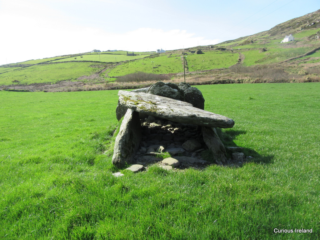 Wedge tomb in CaherbaroulWedge tomb · 1197 yd
 St John the Baptist Roman Catholic Churchchurch/chapel · 1.0 mi
 Black WoodWood · 1.7 mi
 Clonavrick CliffCliff · 1.7 mi
 Ummera WoodWood · 3.2 mi
 Mullinhassig WaterfallWaterfall · 3.5 mi
 Battle of Macroombattle · 4.0 mi
 Macroom WalksVisitor information · 4.0 mi
 Macroom Castle (in Ruins)Castle, tower house · 4.0 mi
Other information
Photo: Credit not shown in the picture search · Rights wording not checked; contact us if this picture should be removed