What is recorded here
The following description is derived from both the published 'Archaeological Inventory of County Louth' (Dublin: Stationery Office, 1986) and the 'Archaeological Survey of County Louth' (Dublin: Stationery Office, 1991). In certain instances the entries have been revised and updated in the light of recent research.
Date of upload/revision: 17 July 2007
Situated on ENE slopes of Barnavave. Circular, level interior (int. diam. 5m) enclosed by a low grass-covered wall (Wth 2m, H 0.4m) which is incorporated into the field fence on the W. Gap at NNE may be original entrance.
The monument record does not grant public access. Check the route and ask the landowner before entering private land.
- What survives
- Recorded monument
Places near here
 Hut site in Commons (carlingford Par.)Hut site · 449 yd
 IndicatedFairy fort / earthen ringfort · 527 yd
 Priory (in Ruins)Religious house, Knights Templars · 636 yd
 BarnavaveMountain / peak · 699 yd
 Carlingford - Loop 1A- Commons LoopWalking route · 926 yd
 Saint Michael's Catholic Churchchurch/chapel · 976 yd
 Carlingford Heritage CentreVisitor information · 1308 yd
 Graveyard in Liberties OF CarlingfordGraveyard · 1312 yd
 Town GateHeritage attraction · 1364 yd
 Carlingford Ogham StoneMemorial · 1408 yd
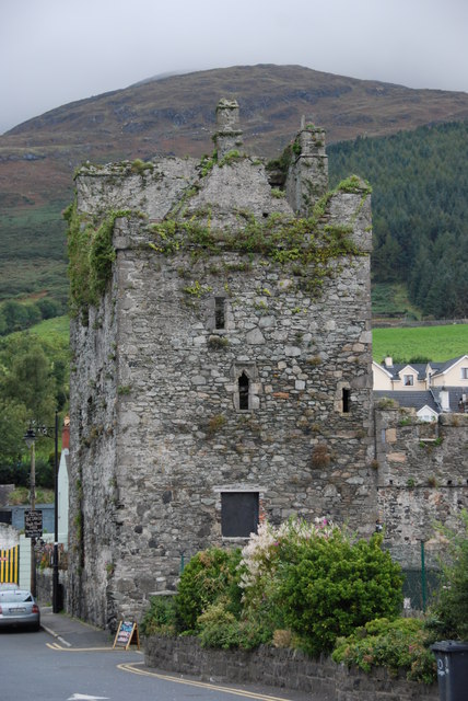 Taaffe's CastleCastle · 1449 yd
 CastleCastle, tower house · 1589 yd