What is recorded here
Located within the Connemara National Park on the N bank of a small tributary stream that flows into the Owengarve River to the SW. The area is one of cutaway bogland. This possible hut site (c. 4.1m N-S; c. 2.4m E-W), subrectangular in plan, is defined by a bank best preserved on the S side (Wth 0.7m; int. H 0.4m; ext. H 0.8m). The interior is raised above the surrounding ground level. This monument was brought to the attention of the Archaeological Survey of Ireland by Helen Riekstiņš.
Compiled by: Olive Alcock with information supplied by Helen Riekstiņš
Updated by: Olive Alcock
Date of revised upload: 14 June 2019
The monument record does not grant public access. Check the route and ask the landowner before entering private land.
- What survives
- Recorded monument
Places near here
 Connemara National ParkNational park · 1294 yd
 Connemara National Park Visitor CentreHeritage attraction · 1309 yd
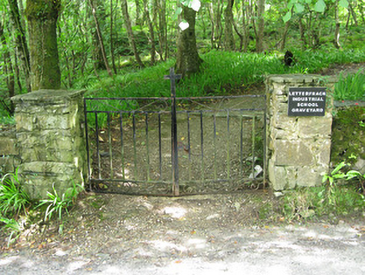 graveyard/cemeterygraveyard/cemetery · 1420 yd
 The Monasterymonastery · 1436 yd
 Hut site in Addergoole (ballynahinch By.)Hut site · 1.1 mi
 Field system in Baunoge (ballynahinch By.)Field system · 1.2 mi
 Cabbage treeCabbage tree · 1.8 mi
 Cnoc BreacMountain / peak · 1.9 mi
 Monterey PineMonterey Pine · 2.2 mi
 RoeillaunIslet · 2.6 mi
 Doughruagh South TopMountain / peak · 2.7 mi
 CrannogIslet · 4.5 mi