
What is recorded here
On the SE side of the heather-covered slopes of Diamond Hill in the Connemara National Park, this possible hut site (int. dims. 1.8m E-W; 1.4m E-W) is located on a small sheltered platform just above and N of the head of a stream that flows E down to the Polladirk River valley. It is subcircular in plan and is defined by a collapsed rubble wall (int. H 0.3-0.75m). This monument was brought to our attention by Helen Riekstiņš
Compiled by: Olive Alcock with information supplied by Helen Riekstiņš
Date of upload: 15 June 2021
The monument record does not grant public access. Check the route and ask the landowner before entering private land.
- What survives
- Recorded monument
Places near here
 Enclosure in Knockbrack (ballynahinch By.)Enclosure · 429 yd
 Booley hut in Addergoole (ballynahinch By.)Booley hut · 548 yd
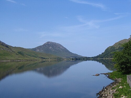 Binn GhuaireMountain / peak · 611 yd
 Cnoc BreacMountain / peak · 1446 yd
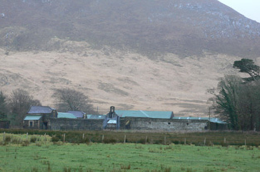 Kylemore Farm Housefarmyard complex · 1577 yd
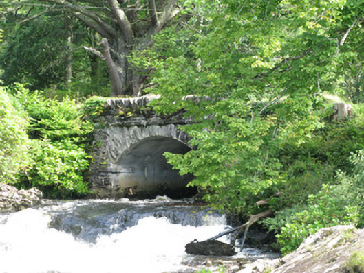 Tullywee Bridgebridge · 1.2 mi
 Monterey PineMonterey Pine · 1.3 mi
 Cabbage treeCabbage tree · 1.3 mi
 Connemara National ParkNational park · 1.6 mi
 BenbaunMountain / peak · 1.8 mi
 RoeillaunIslet · 3.7 mi
 Lettergesh BeachBeach / strand · 4.3 mi
Other information
Photo: Credit not shown in the picture search · Rights wording not checked; contact us if this picture should be removed