
What is recorded here
Located on flat low-lying ground in the Connemara National Park, just off a bend on the E bank of the Polladirk River. The land rises steeply on both sides of the river and the area is one of rough pastureland. Lazy beds indicate the former practice of tillage. This subcircular enclosure (int. dims. 11m N-S; 8.5m E-W; max. H 1.1m at NE) is defined by a rubble-built wall. A small annexe (dims. 3.4m NE-SW; 1.5m NW-SE; max. H 1m) is incorporated into it at E. The enclosure may have been reused as a sheepfold in more recent times. Field walls extend from it at NE and SE. A small enclosure (GA023-050002-) lies c. 27m to the S. This monument was brought to the attention of the Archaeological Survey of Ireland by Helen Riekstiņš.
The following image has been appended:
GA023-050001-_01 Overview from NW.jpg
Compiled by: Olive Alcock with information supplied by Helen Riekstiņš
Updated by: Olive Alcock
Date of revised upload: 7 February 2019
The monument record does not grant public access. Check the route and ask the landowner before entering private land.
- What survives
- Recorded monument
Places near here
 Hut site in Addergoole (ballynahinch By.)Hut site · 429 yd
 Booley hut in Addergoole (ballynahinch By.)Booley hut · 595 yd
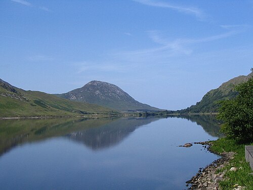 Binn GhuaireMountain / peak · 962 yd
 Cnoc BreacMountain / peak · 1048 yd
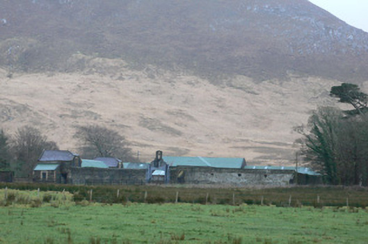 Kylemore Farm Housefarmyard complex · 1334 yd
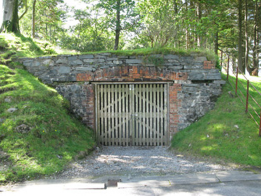 Kylemore Abbeyboathouse · 1.1 mi
 Monterey PineMonterey Pine · 1.1 mi
 Cabbage treeCabbage tree · 1.3 mi
 BenbaunMountain / peak · 1.6 mi
 Connemara National ParkNational park · 1.8 mi
 RoeillaunIslet · 3.9 mi
 Lettergesh BeachBeach / strand · 4.2 mi
Other information
Photo: Credit not shown in the picture search · Rights wording not checked; contact us if this picture should be removed