
What is recorded here
In pasture, on an E-facing slope overlooking a wooded valley. The remains of a roughly circular hut site (5.7m E-W; 5m N-S) defined by an intermittent low bank (Wth 0.6m; H 0.4m) of earth and stone which is best preserved E-W. Several gaps occur along the bank, especially W-E. The entrance (Wth 0.7m) is indicated at W by two parallel upright slabs (H 0.9m; 0.6m x 0.4m and H 0.45m; 0.6m x 0.14m). The level interior, which is totally covered by gorse, briars and bushes, is raised (H 0.7m) at the E to compensate for the hillslope.
The above description is derived from 'The Archaeological Inventory of County Cork. Volume 5' (Dublin: Stationery Office, 2009).
Date of upload: 22 December 2009
The monument record does not grant public access. Check the route and ask the landowner before entering private land.
- What survives
- Recorded monument
Places near here
 Man-made underground passage in CurraghnaloughraMan-made underground passage · 1568 yd
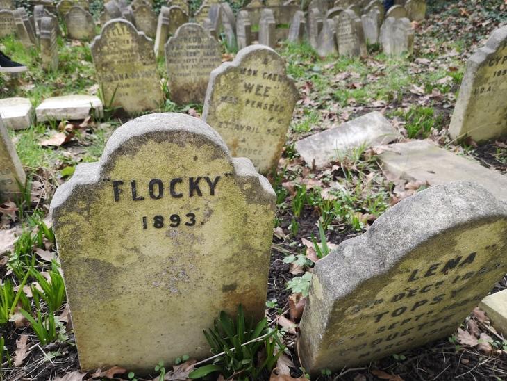 Burial Gd (children) (Disused)Burial ground · 1.2 mi
 The Presbyterypresbytery/parochial/curate's house · 1.2 mi
 CarrigfaddaMountain / peak · 1.2 mi
 Sacred Heart Roman Catholic Churchchurch/chapel · 1.3 mi
 Cross commemorating Holy Day.Memorial · 1.3 mi
 Graveyard in ToughmacdermodyGraveyard · 2.0 mi
 Mohona WoodWood · 4.1 mi
 Leap waterfallHeritage attraction · 4.2 mi
 Castle SalemCastle · 4.2 mi
 Sitka SpruceSitka Spruce · 4.8 mi
 Myross PointHeadland · 4.9 mi
Other information
Photo: Credit not shown in the picture search · Rights wording not checked; contact us if this picture should be removed