What is recorded here
Knockaneacoolteen holds a forgotten circular hut inside a rath, waiting beneath overgrown grass. The 1846 survey marked a six-metre shape in the south-west quadrant, but no wall, hole or line remains visible to touch. Whatever life moved through that small space has returned to soil, leaving only a hidden suggestion of human presence.
In a rath (KE039-090----). A circular feature (diam. c. 6m) is indicated in the SW quadrant of the rath on the 1846 OS 6-inch map. The hut site is not visible at ground level in the overgrown interior of the rath.
Compiled by: Elizabeth Byrne, Ursula Egan and Sheila Ronan, Archaeological Survey Unit, University College, Cork.
Date of upload: 31 January 2011
The monument record does not grant public access. Check the route and ask the landowner before entering private land.
- What survives
- Recorded monument
Places near here
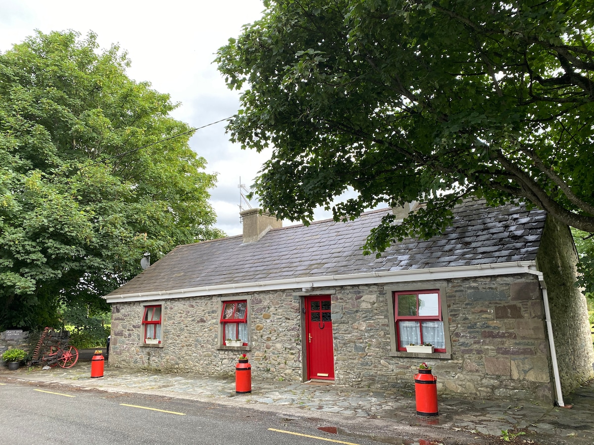 Burnt spread in KnockaneacoolteenBurnt spread · 401 yd
 Fulacht fia in KilleensFulacht fia · 533 yd
 Ballyfinnane Br.Bridge · 1.5 mi
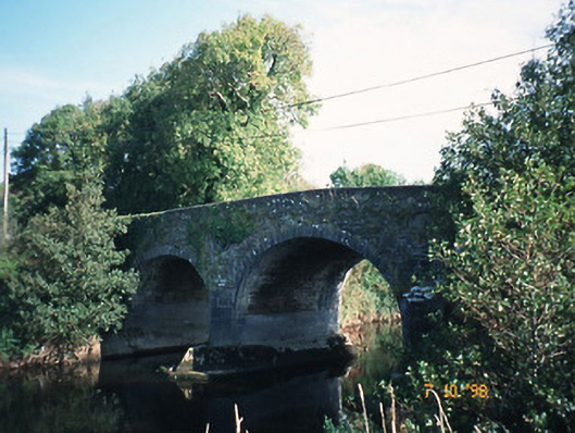 Maine Bridgebridge · 1.8 mi
 Bealagrellagh CastleCastle · 2.1 mi
 Site of McElligotts CastleCastle, unclassified · 2.7 mi
 Ballygamboon Forest Recreation AreaWood · 2.9 mi
 Common AlderCommon Alder · 3.3 mi
 PoulatouirtCave · 4.0 mi
 Poulclashcannon (blocked)Cave · 4.1 mi
 Scotia's GraveArchaeological place · 4.3 mi
 KnockmoyleMountain / peak · 4.7 mi