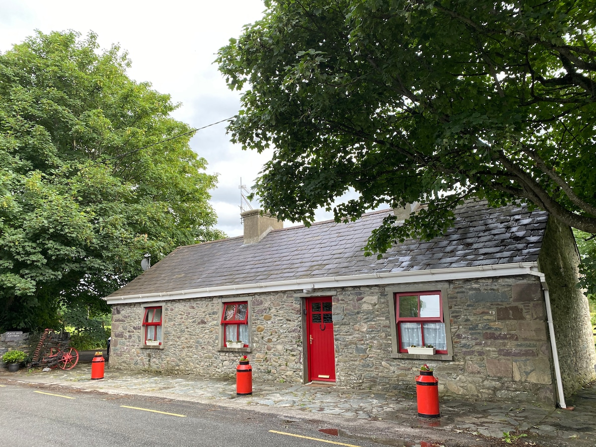
What is recorded here
In wet pasture, in a marshy field with natural springs. The landowner noted a large spread of burnt material during reclamation in the early 1980s. Some burnt material is visible in the E face of a drain to the W. A field boundary which bordered the fulacht fia to the S was replaced by a deep drain which is covered with overgrowth. (Castleisland District Archaeological Survey)
Compiled by: Elizabeth Byrne, Ursula Egan and Sheila Ronan, Archaeological Survey Unit, University College, Cork.
Date of upload: 31 January 2011
The monument record does not grant public access. Check the route and ask the landowner before entering private land.
- What survives
- Recorded monument
Places near here
 Fulacht fia in KnockaneacoolteenFulacht fia · 343 yd
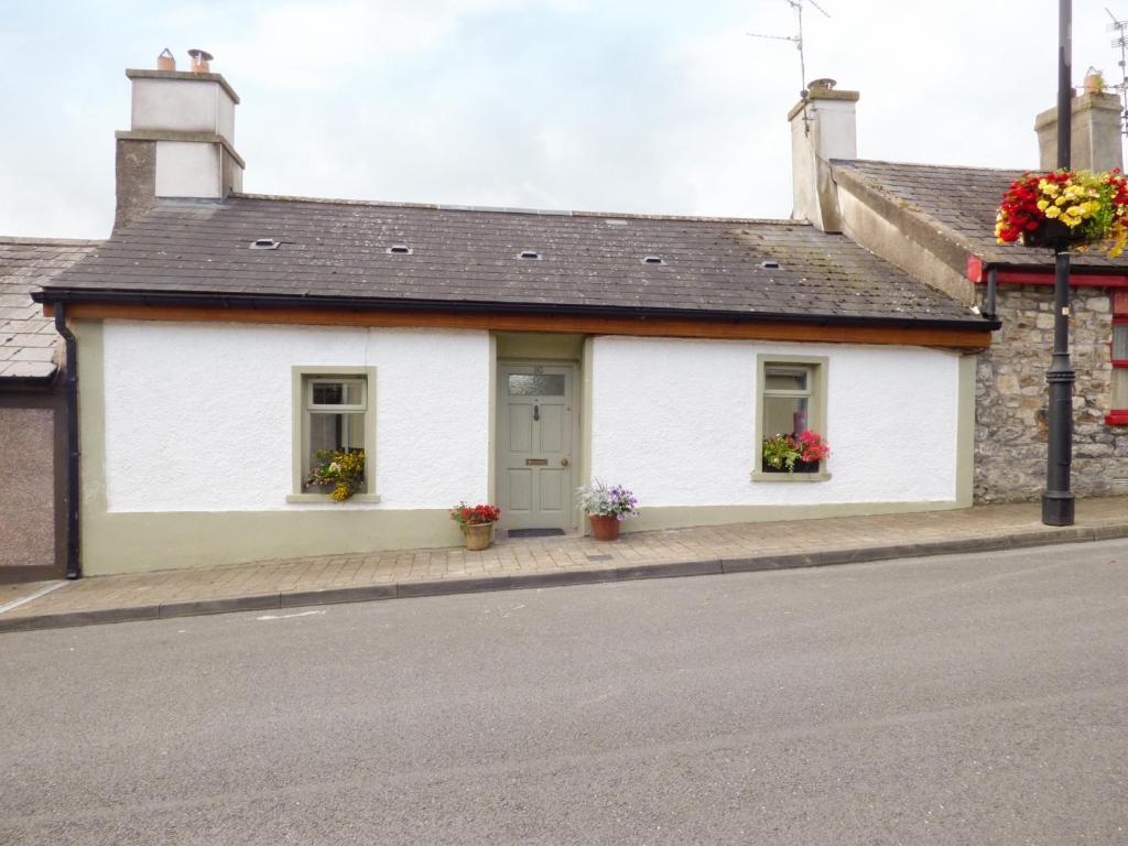 LismoreFairy fort / earthen ringfort · 468 yd
 Ballyfinnane Br.Bridge · 1.3 mi
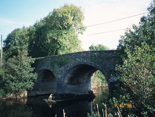 Maine Bridgebridge · 1.7 mi
 Site of CourtCastle, unclassified · 1.8 mi
 CastleCastle, ringwork · 1.9 mi
 Ballygamboon Forest Recreation AreaWood · 2.9 mi
 Common AlderCommon Alder · 3.5 mi
 PoulatouirtCave · 4.2 mi
 Poulclashcannon (blocked)Cave · 4.3 mi
 Scotia's GraveArchaeological place · 4.4 mi
 KnockmoyleMountain / peak · 4.7 mi
Other information
Photo: Credit not shown in the picture search · Rights wording not checked; contact us if this picture should be removed