What is recorded here
Situated at a slight break in a marked E-facing slope. A possible hut site (int. dims. 6m x 4m) defined by a wide low bank (Wth 2m; H 0.3m) superimposed onto the bank of a bivallate rath (WI021-062----) at E.
Compiled by: Mary Tunney
Date of upload: 5 December 2012
The monument record does not grant public access. Check the route and ask the landowner before entering private land.
- What survives
- Recorded monument
Places near here
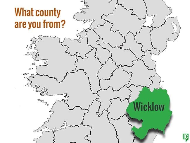 IndicatedFairy fort / earthen ringfort · 15 yd
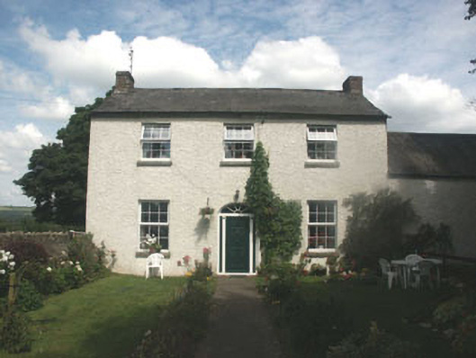 farm housefarm house · 1528 yd
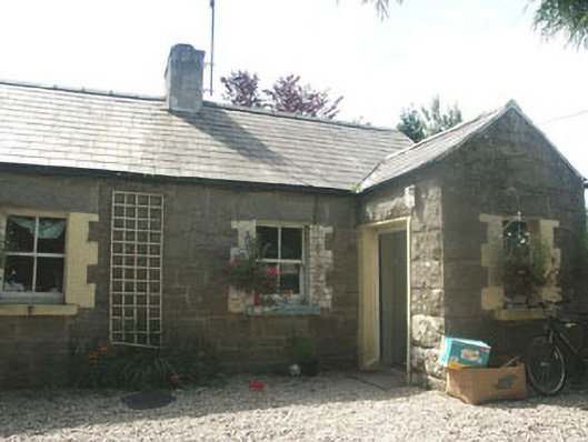 Parnell Cottageworker's house · 1662 yd
 Brusselstown RingHillfort · 1.1 mi
 Castle in ruinsCastle, unclassified · 1.2 mi
 Dwyer McAllister CottageMuseum · 1.5 mi
 Site of CastleCastle, unclassified · 1.5 mi
 Keadeen MountainMountain / peak · 1.6 mi
 Saint Brigit's ChairNamed rock · 1.9 mi
 Michael Dwyer MemorialMemorial · 2.0 mi
 Saint Brigit's Mass StoneNamed rock · 2.0 mi
 Sam McAllistair GraveMemorial · 2.4 mi