What is recorded here
Rain had already claimed most of Killelton when the survey came through. What remains is a shallow oval ring in wet pasture, two broken hut heaps inside it, and a third possibility off to the east. The bay is close enough to hear in a storm, which makes the smallness of the place easier to believe. People may have lived there briefly, in seasonal camps or hardship, using stones and patience where soil would not cooperate. The huts disappeared because the landscape refused to keep them sharp.
Oval univallate rath KE037-026---- is situated in rough, wet pastureland, c. 115m from the S shore of Tralee Bay.
A pair of conjoined huts (KE037-026001- & KE037-026002-) in the interior are now reduced to a heap of loose stones. Another spread of stones to E of these may mark the site of a 3rd hut (KE037-026003-).
The above description is derived from J. Cuppage, ‘Corca Dhuibhne. Dingle Peninsula archaeological survey. Ballyferriter. Oidhreacht Chorca Dhuibhne’ (1986), no. 472. In certain instances the entries have been revised and updated in the light of recent research.
Date of upload: 7 August 2013
The monument record does not grant public access. Check the route and ask the landowner before entering private land.
- What survives
- Recorded monument
Places near here
 Killelton Church (in ruins)Church · 1029 yd
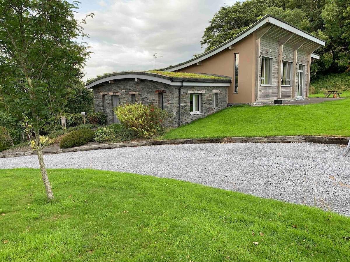 Hut site in Doire Mhór ThiarHut site · 1377 yd
 Enclosure in Doire Mhór ThiarEnclosure · 1656 yd
 GearhaneMountain / peak · 1.7 mi
 Curraduff Bridgebridge · 1.9 mi
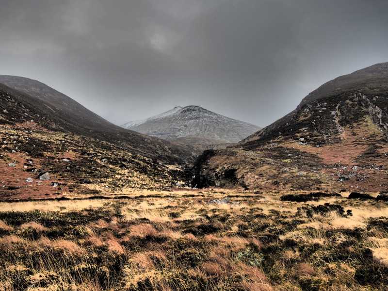 Baurtregaum NW TopMountain / peak · 2.0 mi
 Site of Camp CastleCastle, unclassified · 2.0 mi
 CastleCastle, unclassified · 2.0 mi
 Derrymore Island Nature ReserveNature reserve · 2.1 mi
 Faisr's GraveArchaeological place · 2.2 mi
 Graveyard in Baile An Chnocáin (tc An Cnoc Glas)Graveyard · 2.2 mi
 Samphire IslandIslet · 2.5 mi