
What is recorded here
Doire Mhór Thiar holds a broken circular enclosure where human hands once shaped the coastal plain. The SE bank still shows earth and stones, but most of the structure has vanished. What remains is a stub of memory on Derrymore Island, waiting for someone to imagine the shape it lost.
The circular enclosure marked on the 2nd edition of the OS map has been largely destroyed. Only a small section of the SE portion of the bank remains. This is composed of earth and stones and is badly disturbed. The site is located on the level coastal plain at the base of the low-lying spit known as Derrymore Island.
The above description is derived from J. Cuppage, ‘Corca Dhuibhne. Dingle Peninsula archaeological survey. Ballyferriter. Oidhreacht Chorca Dhuibhne’ (1986), no. 663. In certain instances the entries have been revised and updated in the light of recent research.
Date of upload: 7 August 2013
The monument record does not grant public access. Check the route and ask the landowner before entering private land.
- What survives
- Recorded monument
Places near here
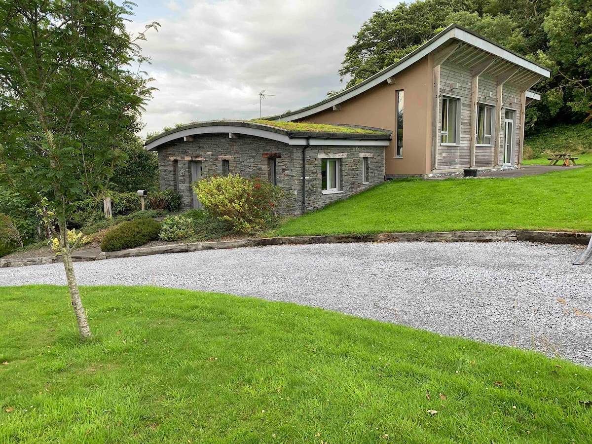 Hut site in Doire Mhór ThiarHut site · 401 yd
 Man-made underground passage in Doire Mhór ThoirMan-made underground passage · 824 yd
 Derrymore Island Nature ReserveNature reserve · 1.2 mi
 Killelton Church (in ruins)Church · 1.5 mi
 Saint BrendanMemorial · 2.0 mi
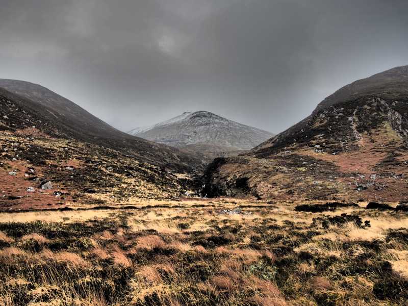 Baurtregaum NW TopMountain / peak · 2.0 mi
 Samphire IslandIslet · 2.1 mi
 GearhaneMountain / peak · 2.1 mi
 Fenit BeachBeach / strand · 2.5 mi
 Little Samphire Island LighthouseLighthouse · 2.5 mi
 Samphire Island LittleIslet · 2.5 mi
 Site of Camp CastleCastle, unclassified · 2.9 mi
Other information
Photo: Credit not shown in the picture search · Rights wording not checked; contact us if this picture should be removed