What is recorded here
In rough wet pastureland, within an old field system. A circular enclosure, possibly the remains of a hut. It survives as a drystone-lined hollow which appears to have been excavated out of the centre of a natural mound. Abutting the wall, at the W side of the interior, is a rectangular, drystone-lined pit, 1.4 x 1.5m x .5m deep. D: c. 5.2m. H: 1m.
The above description is derived from J. Cuppage, ‘Corca Dhuibhne. Dingle Peninsula archaeological survey. Ballyferriter. Oidhreacht Chorca Dhuibhne’ (1986), no. 1391. In certain instances the entries have been revised and updated in the light of recent research.
Date of upload: 5 August 2013
The monument record does not grant public access. Check the route and ask the landowner before entering private land.
- What survives
- Recorded monument
Places near here
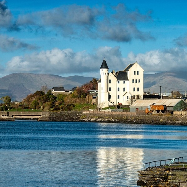 Hut site in CaherpierceHut site · 110 yd
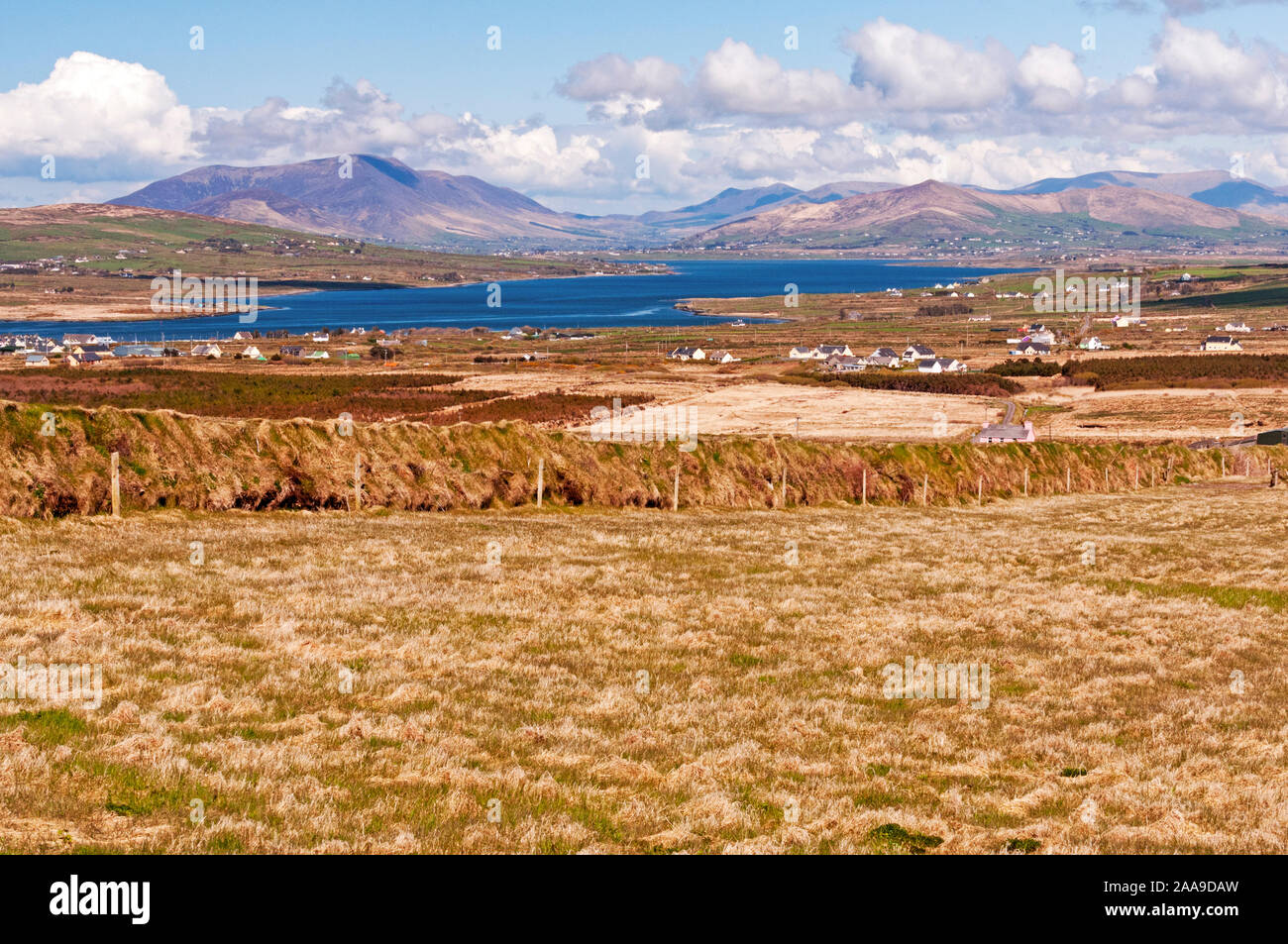 IndicatedHoly well · 553 yd
 KilnKiln, corn-drying · 930 yd
 Church in LackChurch · 1067 yd
 BeenduffMountain / peak · 1.2 mi
 KnockmoreMountain / peak · 1.3 mi
 Cromane PointHeadland · 1.4 mi
 Inch BeachBeach / strand · 2.7 mi
 Cromane BeachBeach / strand · 3.0 mi
 CastleCastle, unclassified · 4.0 mi
 Faisr's GraveArchaeological place · 4.1 mi
 Site of Camp CastleCastle, unclassified · 4.4 mi