What is recorded here
Located immediately below the saddle that extends E from Eagles Hill, on its S side. Subcircular remains of a drystone hut KE099-028---- with some upright slabs revetting the inner wall-face. D: 2.2m x 1.8m. H: .6m. T: .5m. Adjacent at NW and possibly conjoined, a drystone hut (KE099-028001-) of subcircular plan, only one course high. Two slabs on edge, set 1.1m apart, denote an entrance at S. D: 2.5m x 1.7m.
The above description is derived from A. O'Sullivan and J. Sheehan (compilers), 'The Iveragh peninsula: an archaeological survey of South Kerry'. Cork University Press (1996), no. 1286. In certain instances the entries have been revised and updated in the light of recent research.
Date of upload: 1 August 2013
The monument record does not grant public access. Check the route and ask the landowner before entering private land.
- What survives
- Recorded monument
Places near here
 IndicatedHoly well · 412 yd
 Cnoc na StéigeMountain / peak · 424 yd
 Eagles HillMountain / peak · 824 yd
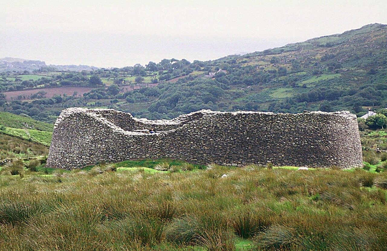 Staigue FortFairy fort / stone ringfort · 1.2 mi
 Cowlagh (in Ruins)Church · 1.3 mi
 2Cliff · 1.4 mi
 Copper Mines (Disused)Mine, copper · 1.4 mi
 Castle Cove (in Ruins)Castle, tower house · 1.8 mi
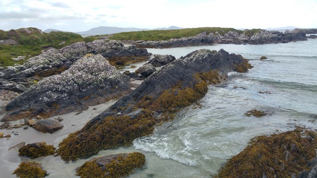 White StrandBeach / strand · 2.3 mi
 An PlaoscHeadland · 2.6 mi
 Reen BeachBeach / strand · 2.8 mi
 IllaundraneIslet · 2.8 mi