What is recorded here
High on the SW slopes of Knocknagantee in open mountain terrain. A cluster of four drystone structures.
(3) (KE090-042002-) A square hut, its NW wall constructed of block-like uprights. An entrance at W, defined by a pair of uprights set .9m apart. D: 2.9m x 2.4m. T: 1m.
The above description is derived from A. O'Sullivan and J. Sheehan (compilers), 'The Iveragh peninsula: an archaeological survey of South Kerry'. Cork University Press (1996), no. 1282. In certain instances the entries have been revised and updated in the light of recent research.
Date of upload: 1 August 2013
The monument record does not grant public access. Check the route and ask the landowner before entering private land.
- What survives
- Recorded monument
Places near here
 Cnoc BreasailMountain / peak · 944 yd
 Hut site in DerrynagreeHut site · 1606 yd
 Cnoc na gCáinte (mullach thiar)Mountain / peak · 1.0 mi
 Field system in DerrynagreeField system · 1.1 mi
 RoadRoad, road/trackway · 1.5 mi
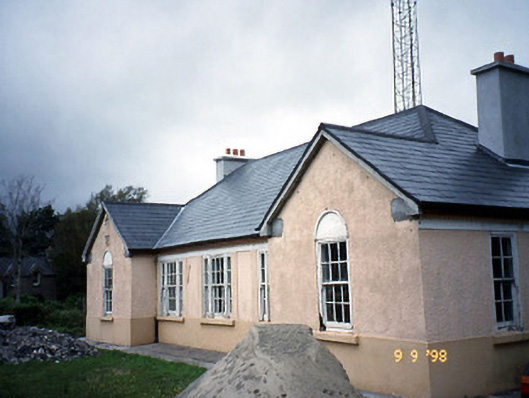 Sneem Garda Síochána Stationgarda station/constabulary barracks · 4.0 mi
 De Gaulle MemorialMonument · 4.0 mi
 Sneem Commemoration PlaqueMemorial · 4.2 mi
 GarinishIslet · 6.1 mi
 Coral BeachBeach / strand · 6.3 mi
 Rossdohan IslandIsland · 6.9 mi
 Ardgroom Pulleen LoopWalking route · 9.5 mi