What is recorded here
On a sheltered grassy platform, on a break on a S-facing slope of mountainous ground. The remains of an oval hut site (4.6m N-S; 3.6m E-W) defined by a stone wall (max. H 0.6m) which consists of three courses of unhewn boulders (max. dim. 0.45m). The remains of low-sized wall, forming an arc N-E, abut the hut site wall along its NE arc.
The above description is derived from 'The Archaeological Inventory of County Cork. Volume 5' (Dublin: Stationery Office, 2009).
Date of upload: 22 December 2009
The monument record does not grant public access. Check the route and ask the landowner before entering private land.
- What survives
- Recorded monument
Places near here
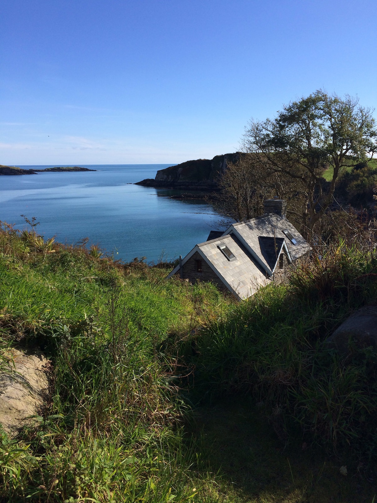 Hut site in BaurgarriffHut site · 770 yd
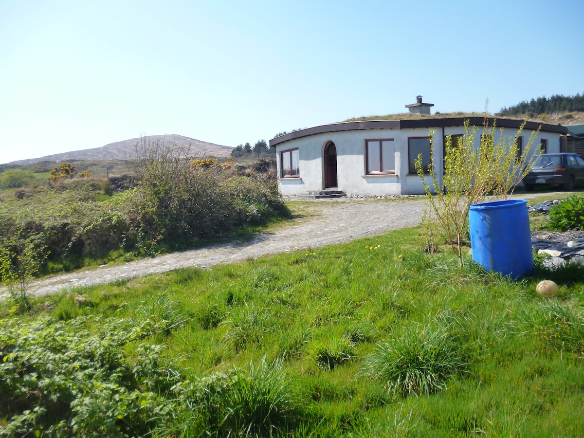 Hut site in MullaghmeshaHut site · 1730 yd
 Mullach MéiseMountain / peak · 1.0 mi
 KilnKiln, corn-drying · 1.8 mi
 Castle DonovanCastle · 1.8 mi
 Castle Donovan (in Ruins)Castle, tower house · 1.8 mi
 Francis O'Neill PlaqueMemorial · 2.4 mi
 Delish Cascade WalkWalking route · 2.5 mi
 Dromore Schoolschool · 2.8 mi
 Nowen Hill SW TopMountain / peak · 3.0 mi
 Moyny Bridge WalkWalking route · 3.2 mi
 Kealkill stone circleVisitor information · 4.0 mi