What is recorded here
In rough commonage, on a gentle S-facing slope. One of five hut sites forming a cluster (see WI016-024001-, WI016-024002-,WI016-024004-, WI016-024005-). Located c. 5m to S of another hut site (WI016-024002-). An oval area (2.2m N-S; 2.4m E-W) enclosed by a grassy bank (H 0.4m; Wth 1m). There is a possible entrance at ESE (Wth 0.8m).
Compiled by: Matt Kelleher
Date of upload: 15 January 2013
The monument record does not grant public access. Check the route and ask the landowner before entering private land.
- What survives
- Recorded monument
Places near here
 SilseanMountain / peak · 1.4 mi
 Cross in KnocknadrooseCross · 1.6 mi
 Templefinan Grave Yard (Disused)Church · 1.7 mi
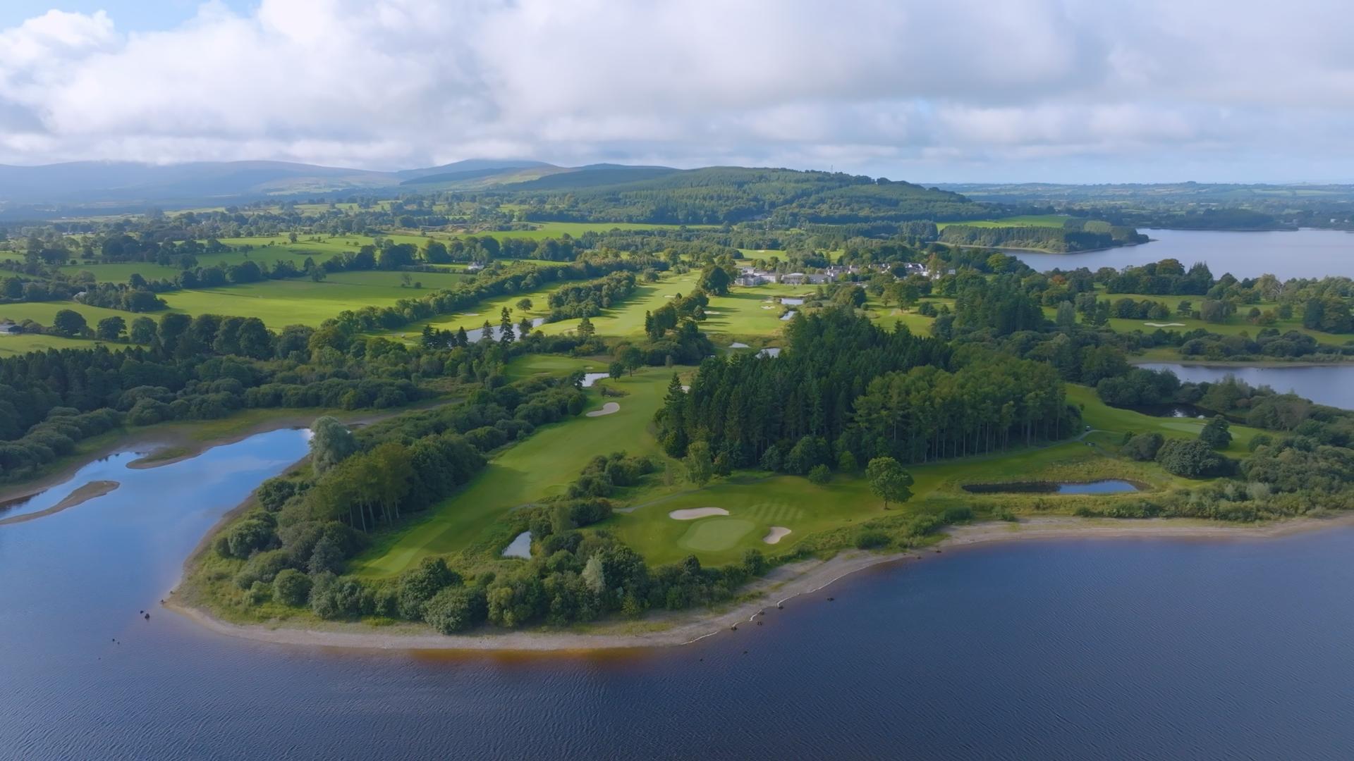 IndicatedEcclesiastical enclosure · 1.7 mi
 Hollywood Horse and Pony TrekkingHeritage attraction · 1.8 mi
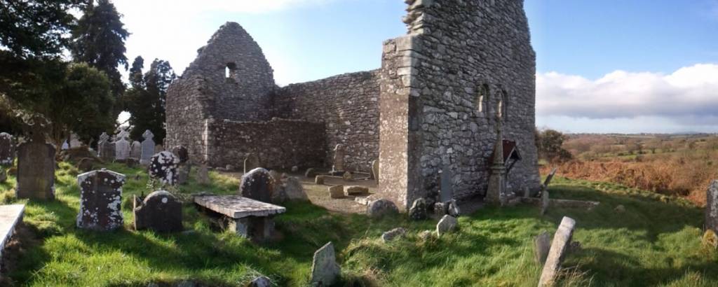 Church in AnnacarneyChurch · 2.2 mi
 MoanbaneMountain / peak · 2.3 mi
 Art O'Neill PlaqueMemorial · 2.6 mi
 Land Grabber MemorialRuins · 2.8 mi
 Wicklow GapMountain pass · 3.8 mi
 Hollywood SignHeritage attraction · 5.0 mi
 Lacken – Mass Path LoopWalking route · 5.1 mi