What is recorded here
Hut site in Garranlahan Beg is a hut site in Garranlahan Beg, County Roscommon, Ireland. It lies just north of the centre of a rath and forms a subcircular shape measuring 4.5 metres east-west and 3.4 metres north-south. A grass-covered stoney bank, between 1.7 and 2.8 metres wide and 0.1 to 0.5 metres high, defines the site, with a 1.5-metre entrance at the east.
Just N of the centre of rath (RO032-017001-) there is a subcircular hut-site (int. dims 4.5m E-W; 3.4m N-S) defined by a grass-covered stoney bank (Wth 1.7-2.8m; H 0.1-0.5m) with an entrance (Wth 1.5m) at E.
Compiled by: Michael Moore
Date of upload: 24 August 2010
The monument record does not grant public access. Check the route and ask the landowner before entering private land.
- What survives
- Recorded monument
Places near here
 IndicatedFairy fort / earthen ringfort · 4 yd
 ChapelChurch · 644 yd
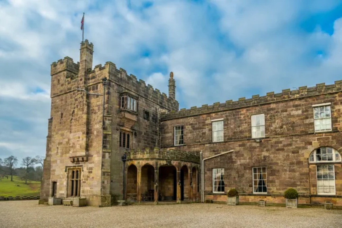 Embanked enclosureFairy fort / earthen ringfort · 855 yd
 RoadRoad, road/trackway · 1167 yd
 CastleCastle, unclassified · 1.1 mi
 Slieve DartMountain / peak · 3.1 mi
 Castle in ruinsCastle, unclassified · 5.2 mi
 Coolougher WoodForest · 5.7 mi
 Site of Killomaine Grave YardArchaeological place · 10 mi
 European ashEuropean ash · 15 mi
 Mass RockNamed rock · 16 mi
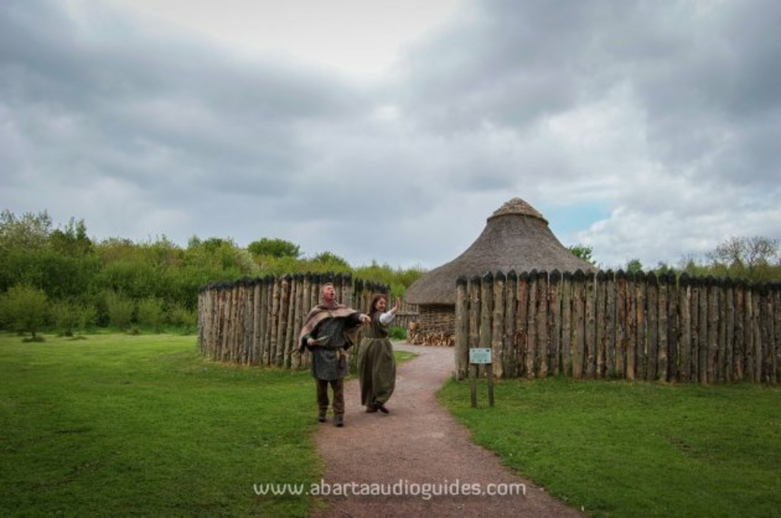 Moanbane FortFairy fort / earthen ringfort · 1213 yd