What is recorded here
Foilatrisnig holds a possible hut on a sunny slope above Tralee Bay, marked only by faint lines in modern photographs. The place still belongs to people who watched the water, waited for weather, and shaped the land with patience. Its age resists easy claims, but its purpose remains clear: a small human answer to a large sea.
In area of rough grazing and scrub on S-facing slope overlooking Tralee Bay to the N, enclosure (KE036-115----) 90m to NW. Outline of possible hut site visible on Digital Globe aerial photograph taken between 2011-2013 and on Google Earth orthophotos.
See attached images courtesy of Tony Miller
Compiled by: Caimin O’Brien based on details provided by Tony Miller
Date of upload: 23 February 2022
The monument record does not grant public access. Check the route and ask the landowner before entering private land.
- What survives
- Recorded monument
Places near here
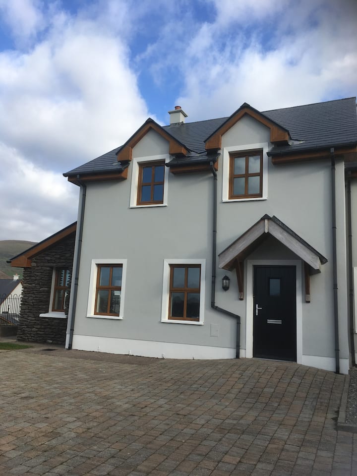 Enclosure in FoilatrisnigEnclosure · 107 yd
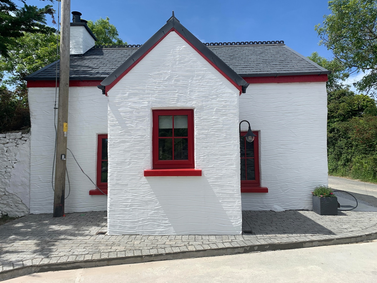 Hut site in FoilatrisnigHut site · 745 yd
 Church in Duagh (corkaguiny By.)Church · 1385 yd
 Church in Arraglen (corkaguiny By., Castlegregory Ed),killiney,tullig (corkaguiny By., Castlegregory Ed)Church · 1.3 mi
 KnockbegMountain / peak · 1.4 mi
 CorrinMountain / peak · 1.4 mi
 Graveyard in Baile An Chnocáin (tc An Cnoc Glas)Graveyard · 1.9 mi
 Faisr's GraveArchaeological place · 2.1 mi
 Site of Camp CastleCastle, unclassified · 2.1 mi
 CastleCastle, unclassified · 2.5 mi
 Glanteenassig Forest ParkForest · 3.7 mi
 Samphire Island LittleIslet · 5.0 mi