
What is recorded here
In rough, upland pasture, on a terrace on the E-facing slope of Strickeen Mountain. The remains of an oval hut site (dims. 4m x 1.7m) defined by a low drystone wall.
Compiled by: Matt Kelleher
Date of upload: 26 February 2013
The monument record does not grant public access. Check the route and ask the landowner before entering private land.
- What survives
- Recorded monument
Places near here
 Enclosure in Dunloe UpperEnclosure · 50 yd
 Tomies Mountain North TopMountain / peak · 1.2 mi
 IndicatedEnclosure · 1.4 mi
 Dunloe Ogham StonesHeritage attraction · 1.6 mi
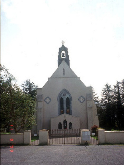 Saint Mary's Catholic Churchchurch/chapel · 1.6 mi
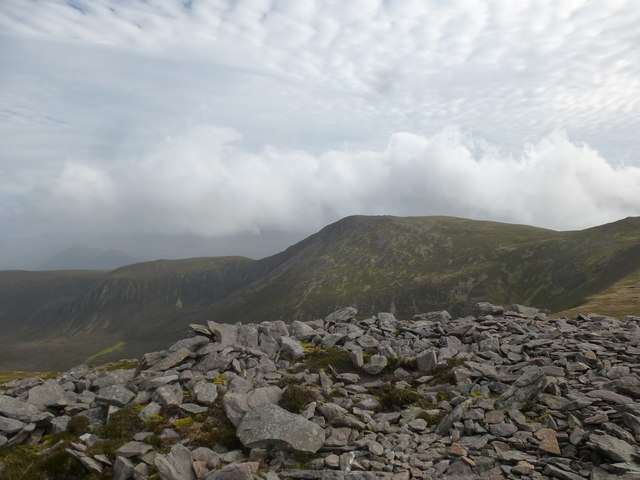 Tomies MountainMountain / peak · 1.7 mi
 Japanese pagoda treeJapanese pagoda tree · 1.7 mi
 European YewEuropean Yew · 1.7 mi
 Castle (in Ruins)Castle, tower house · 1.8 mi
 Grenagh Ho.Country house · 2.0 mi
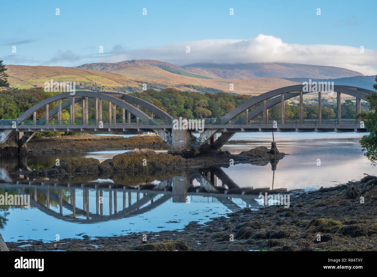 Very small BridgeHeritage attraction · 2.1 mi
 CastleCastle, tower house · 2.3 mi
Other information
Photo: Credit not shown in the picture search · Rights wording not checked; contact us if this picture should be removed